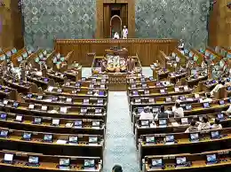
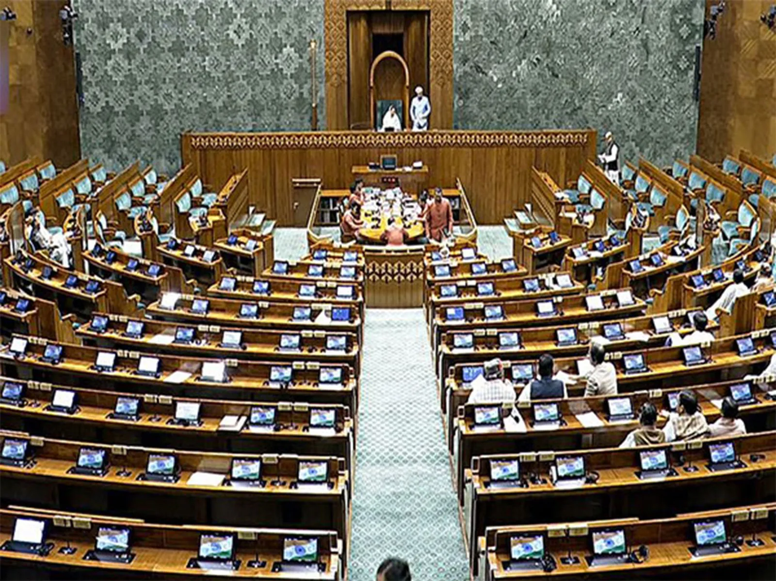
New Delhi, March 18: The Lok Sabha on Wednesday extended the tenure for the Joint Parliamentary Committee's report on the 'One Nation, One Election Bill', allowing the committee to submit its findings by the first day of the last week of the Monsoon Session in 2026.
The motion was moved by PP Chaudhary, Chairman of the One Nation, One Election Panel. He requested the House to allow the JPC more time to present the report on the Constitution (One Hundred and Twenty-Ninth Amendment) Bill, 2024, and the Union Territories Laws (Amendment) Bill, 2024.
"That this House do extend time for the presentation of the Report of the Joint Committee on the 'Constitution (One Hundred and Twenty-Ninth Amendment) Bill, 2024 and the Union Territories Laws (Amendment ) Bill, 2024' upto the first day of the last week of the Monsoon Session, 2026", PP Chaudhary moved the motion.
The bill was introduced in the Lok Sabha in December 2024. The bills were sent to the Joint Committee of both Houses for further examination.
The Constitution (One Hundred and Twenty-Ninth Amendment) Bill, 2024, is linked to the proposed reform popularly known as "One Nation, One Election," which seeks to synchronise elections for the Lok Sabha and state legislative assemblies. The Union Territories Laws (Amendment) Bill, 2024, is also part of the broader framework aimed at facilitating the implementation of simultaneous elections across the country.
The JPC is currently reviewing the Constitution (129th Amendment) Bill, 2024 and the Union Territories Laws (Amendment) Bill, 2024. These Bills, introduced on December 17, 2024, in the Lok Sabha and sent to the JPC for further scrutiny, collectively aim to introduce simultaneous elections across the country.
Earlier, the JPC met at the Parliament House Annexe (PHA) in New Delhi on March 9.
After the meeting, JPC Chairman PP Choudhary said that the One Nation One Election is in the national interest, not for any political party.
Speaking to ANI, Choudhary said, "He said that we have to work in the national interest, rising above party interests... One Nation One Election would facilitate a single voter list, saving a lot of time... Gulam Nabi Azad shared his vast political experience... He cleared all the doubts of the committee members and the conclusion was that One Nation One Election is in the national interest, not in political interest."
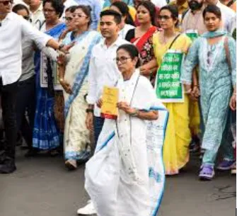
During the meeting, Former Chief Minister of Jammu and Kashmir Ghulam Nabi Azad interacted with the committee. (ANI)