


Rain clouds gather over central regions signaling agricultural relief
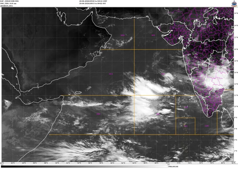
Southwest monsoon systems are showing active signs of rejuvenation after nearly two weeks of minimal movement and expanding moisture deficits nationwide. Rain-bearing clouds are steadily rebuilding across central states, promising critical relief to agricultural belts that faced prolonged dry spells. Data from the India Meteorological Department indicates that scattered downpours will hit Chhattisgarh, Madhya Pradesh, and Vidarbha through late June.
Meteorologists view this return of cloud systems as a crucial shift for regional farming. Vast tracts of land in central territories endured clear skies and scorching temperatures despite the official onset of the rainy season. This delayed precipitation previously triggered anxiety among local cultivators who rely heavily on early downpours for seasonal crop cycles. Timely seasonal rain across these traditional farming zones determines national food security and dictates crop yields for the rest of the calendar year.
Official forecasts indicate a surge in convective activity alongside lightning across multiple states. West Madhya Pradesh will likely encounter fast-moving winds blowing at speeds of 40 to 50 kilometers per hour, with bursts reaching 60 kilometers per hour. Similar turbulent conditions remain projected for eastern districts of the state as well as neighboring Vidarbha over the coming days.
Chhattisgarh faces a high probability of persistent lightning and thunder, with maximum activity concentrated toward the final days of the weather cycle. Some pockets will endure brief, intense storms ahead of the sustained downpours. Gale-force winds reaching up to 70 kilometers per hour are expected to sweep across western and eastern parts of Madhya Pradesh, marking a sharp transition from the recent heatwave conditions.
Southern coastal regions continue to maintain their position as the wettest zones in the country. Heavy localised downpours are projected for Tamil Nadu, Puducherry, and Karaikal over the immediate weekend. Concurrently, Kerala and Mahe will experience sustained precipitation through the middle of the upcoming week.
Coastal Karnataka remains on alert for intense rainfall, while interior parts of the state will see localized cloudbursts. Islands in the Lakshadweep archipelago are also tracking heavy weather patterns. This broader resurgence suggests that the atmospheric stagnation blocking the seasonal advancement has finally broken, paving the way for steady agricultural progress.