

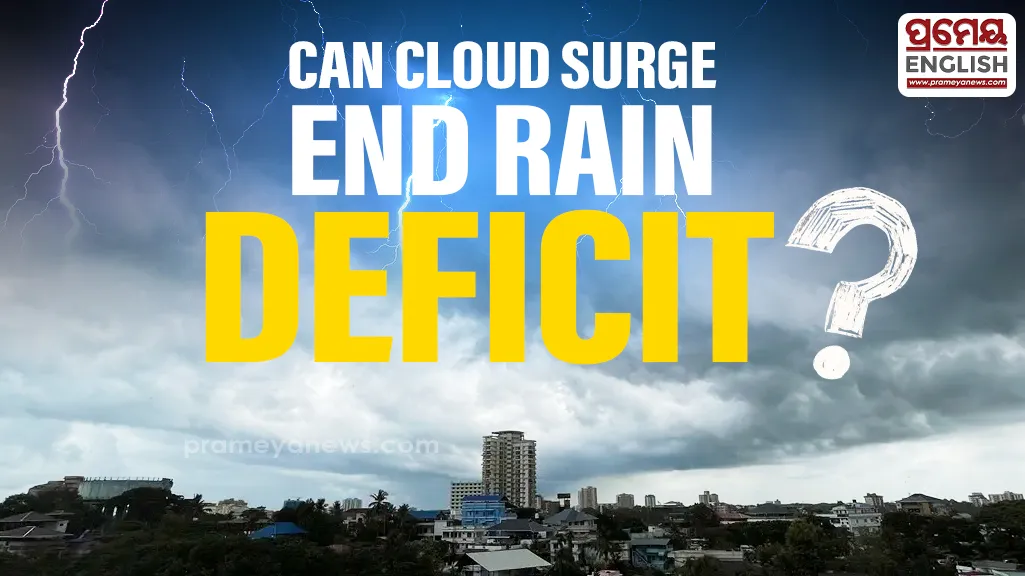
Fresh satellite imagery sparks hope
Recent images from India's INSAT-3DS weather satellite show deep convective clouds forming rapidly over Maharashtra and adjoining regions. This promising development indicates a strong return of the southwest monsoon after two weeks of sluggish progress. Residents in Mumbai and surrounding coastal areas can prepare for moderate to heavy showers in the coming days. Improved moisture transport from the Arabian Sea is driving this much-needed weather shift.
Facing huge national shortages
Encouraging skies cannot hide the grim reality of current rainfall statistics. Official data reveals that the country recorded merely 56.7 mm of rain between June 4 and June 23, falling drastically short of the normal 104.6 mm. This translates to a staggering 46 percent national deficit. Maharashtra currently struggles with an 84 percent drop, while Gujarat records an 85 percent shortfall.
Central and eastern states feel the heat of this delayed cycle. Farmers in Odisha traditionally rely on consistent early June showers to initiate paddy sowing, and these continued dry spells risk severely disrupting the regional kharif harvest. Madhya Pradesh, Uttar Pradesh, and Telangana also report worrying shortages. Multiple meteorological hurdles caused this widespread delay. Repeated dry air intrusions, weak Somali Jets, and developing El Nino conditions blocked early moisture progression.
Looking at future weather patterns
Meteorologists remain optimistic about the coming weeks. Strong upper-air cyclonic circulation over the Arabian Sea is gathering momentum. Furthermore, the establishment of the Tropical Easterly Jet will support steady rain advancement across central, eastern, and northern states. Everyone now watches the skies to see if these renewed downpours can erase the dangerous June deficit before the month concludes.