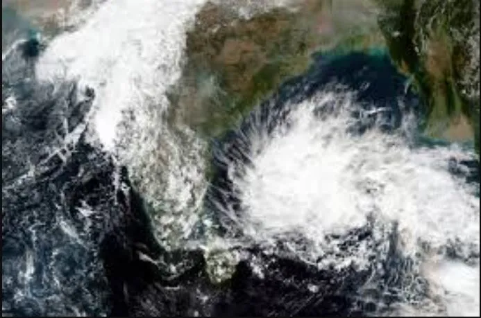


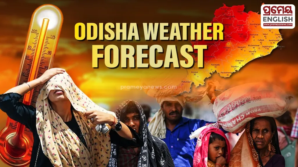
Jharsuguda clocked a blistering maximum temperature of 43.4°C as the regional meteorological center issued a dual-threat weather warning for both extreme heat and violent thunderstorms across Odisha. While western areas bake under intense summer sun, coastal pockets like Balasore recently experienced sudden thundersqualls alongside a minimum temperature of 22.4°C. Southern pockets saw torrential downpours, with Similiguda in Koraput recording a significant 69.0 mm of rainfall. This drastic contrast highlights the volatile transition phase of the current pre-monsoon season in eastern India.

Residents must brace for an impending surge in daytime temperatures. Predictions indicate a gradual rise in maximum daytime temperatures by 2-3°C over the next five days, with little relief expected immediately afterward. Twin cities Bhubaneswar and Cuttack registered peak temperatures of 39.0°C and 39.6°C respectively, though high relative humidity will make conditions feel substantially more oppressive for urban commuters.
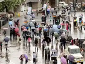
Orange and yellow warning alerts cover multiple regions over the next 24 hours due to unstable atmospheric conditions. Severe gale-force winds reaching speeds of 50-60 km/h are projected to hit northern and coastal districts including Mayurbhanj, Keonjhar, Balasore, Bhadrak, Jajpur, and Jagatsinghpur. Meanwhile, interior districts remain under a strict watch for isolated thunderstorms and frequent lightning strikes.
Public health officials urge citizens to limit direct sun exposure between 11:00 AM and 3:00 PM, when solar radiation peaks. Farmers and outdoor laborers should take frequent breaks in shaded areas and maintain high fluid intake to prevent heat exhaustion. Local administrations are setting up dedicated drinking water stations across major transit points to help commuters manage the oppressive daytime heat.