


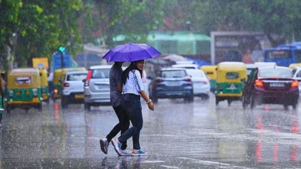
Bhubaneswar, July 22: The India Meteorological Department (IMD) on Tuesday said that a low pressure area is likely to form over the Bay of Bengal in the next 48 hours.
The Met Department added that several parts of Odisha are likely to receive heavy rainfall under its influence.
According to the IMD, a cyclonic circulation, which is a leftover of tropical cyclone Wipha, is likely to form over the north Bay of Bengal in the next 24 hours. This could lead to the formation of a low-pressure area in the same region within the following 48 hours.
Day-wise weather forecast:
July 23
Yellow warning:
Heavy rain and thunderstorm with lightning with gusty surface wind speed reaching 30-40 kmph very likely to occur at one or two places over Koraput, Malkangiri, Nabarangpur, and Nuapada districts.
Thunderstorm with lightning with gusty surface wind speed reaching 30-40 kmph is very likely to occur at one or two places over Sundargarh, Jharsuguda, Bargarh, Sambalpur, Deogarh, Angul, Dhenkanal, Keonjhar, Mayurbhanj, Sonepur, Boudh, Bolangir, Kalahandi, Kandhamal, Rayagada, Ganjam, and Gajapati districts.
July 24
Orange warning:
Heavy to very heavy rain and thunderstorm with lightning with gusty surface wind speed reaching 30-40 kmph very likely to occur at one or two places over Mayurbhanj and Balasore districts.
Yellow warning:
Heavy rain and thunderstorm with lightning with gusty surface wind speed reaching 30-40 kmph very likely to occur at one or two places over Bhadrak, Jajpur, Kendrapara, Cuttack, Jagatsinghpur, Dhenkanal, Keonjhar, Sundargarh, Jharsuguda, Bargarh, Sambalpur, Deogarh, and Angul districts.
Thunderstorm with lightning with gusty surface wind speed reaching 30-40 kmph is very likely to occur at one or two places over Puri, Khurda, Nayagarh, Ganjam, Gajapati, Bargarh, Sonepur, Boudh, Nuapada, Kalahandi, Kandhamal, Nabarangpur, Rayagada, Koraput, and Malkangiri districts.
July 25
Orange warning:
Heavy to very heavy rain and thunderstorm with lightning with gusty surface wind speed reaching 30-40 kmph very likely to occur at one or two places over Mayurbhanj, Keonjhar, Balasore, and Bhadrak districts.
Yellow warning:
Heavy rain and thunderstorm with lightning with gusty surface wind speed reaching 30-40 kmph very likely to occur at one or two places over Kendrapara, Jagatsinghpur, Cuttack, Jajpur, Jharsuguda, Sambalpur, Deogarh, Bargarh, Angul, Dhenkanal, Sundargarh, Sonepur, Bolangir, Kalahandi, Koraput, Malkangiri, Nabarangpur, Nuapada, and Boudh districts.
Thunderstorm with lightning with gusty surface wind speed reaching 30-40 kmph very likely to occur at one or two places over Puri, Khurda, Nayagarh, Ganjam, Gajapati, Bargarh, Sambalpur, Kandhamal, and Rayagada districts.
July 26
Yellow warning:
Heavy rain and thunderstorm with lightning with gusty surface wind speed reaching 30-40 kmph very likely to occur at one or two places over Sundargarh, Jharsuguda, Bargarh, Sambalpur, Koraput, Malkangiri, Nabarangpur, and Kalahandi districts.