

.webp)

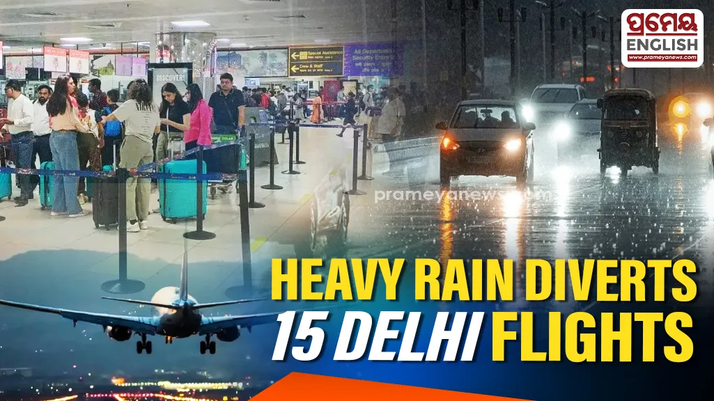
Severe thunderstorms trigger flight diversions across India's capital city
Severe thunderstorms and sudden downpours disrupted operations at Indira Gandhi International Airport on Monday, forcing air traffic controllers to divert 15 flights. Extreme weather conditions swept across India's capital city early in the day, prompting the India Meteorological Department to declare immediate red and orange warnings. Forecasters predicted continued lightning and strong surface winds blowing at 30-40 kmph across several districts.
Rainfall distribution varied sharply across different neighborhoods by 11:30 am. Local weather stations recorded 29 mm of rain in Janakpuri, followed by 22 mm in Narayana, 11.5 mm in Pusa, and 10.6 mm in Palam. Central locations experienced lighter showers, with Safdarjung reporting 3.4 mm and Lodi Road logging 2.7 mm. Peripheral areas like the Ridge, Ayanagar, and Jharoda Kalan received less than 1 mm, registering 0.8 mm, 0.6 mm, and 0.5 mm respectively. Expanding urban sprawl and outdated drainage networks in the national capital frequently turn these intense, localized monsoon bursts into severe waterlogging crises.
Evaluating Monthly Rainfall Totals
Current data confirms the Safdarjung base station has accumulated 246.2 mm of rain over 12 rainy days this August. This volume officially surpassed the established long-period average of 226.8 mm on August 14. Meteorologists noted the most intense 24-hour downpour this month occurred on August 8, delivering a striking 98.7 mm. While current cumulative totals sit well above the normal threshold, they still trail the exceptionally wet periods seen in recent history. Official records show August 2025 brought 400.8 mm of rain to the city, following a similarly heavy 390.3 mm recorded in August 2024. Emergency alerts remain active for eastern, central, and southern districts as storm clouds persist.
.webp)