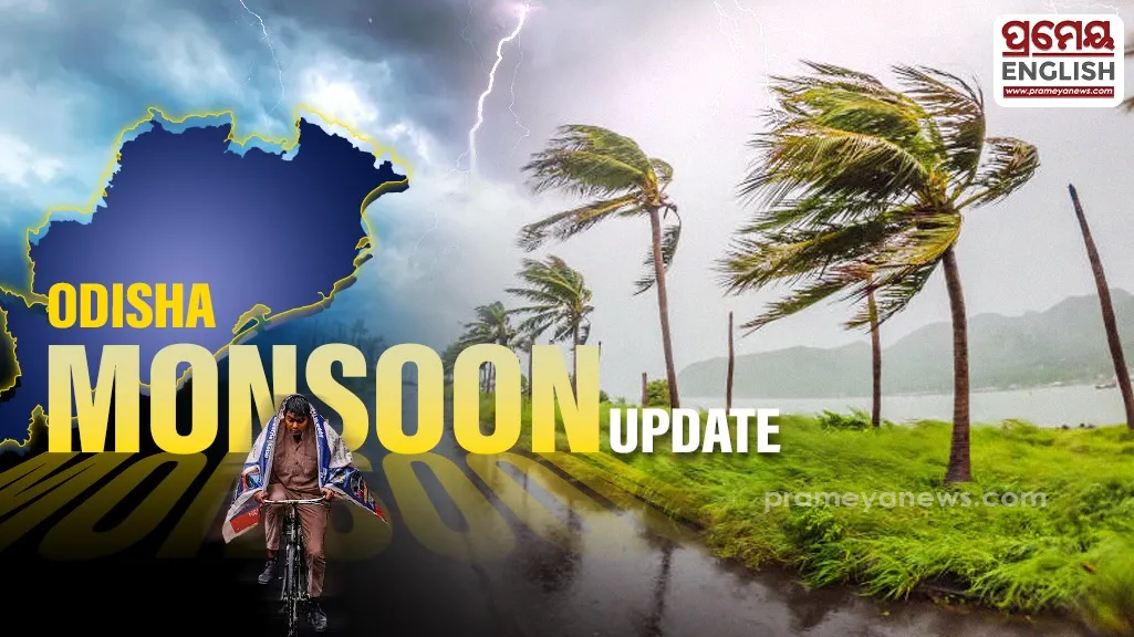
Severe weather alerts prompt safety preparations across regional districts
Meteorological officials issued serious weather alerts predicting extreme downpours across several parts of Odisha over the next seven days. India Meteorological Department experts in Bhubaneswar confirmed that while the initial phase brings isolated thunderous showers, the storm intensity will escalate significantly later in the week. Regional emergency teams are already monitoring local water levels to prevent unexpected urban flooding issues. Public safety announcements encourage staying indoors during peak afternoon hours when lightning activity tends to spike unexpectedly across rural plains.
Residents must prepare for a dual challenge during the opening forty-eight hours. High humidity and soaring temperatures will create uncomfortable conditions, even as localized downpours arrive. According to official data from an orange alert covers districts including Mayurbhanj, Balasore, Bhadrak, Kandhamal, Rayagada, Gajapati, Koraput, and Malkangiri. These specific areas face impending risk from lightning strikes and gusty surface winds blowing up to fifty kilometers per hour. Meanwhile, Rainfall forecast on 30th june 2026 indicates fairly widespread precipitation covering most interior and coastal districts alike.
Weather patterns will shift aggressively from day four through day seven, transitioning into dangerous heavy to very heavy rainfall. This sudden seasonal escalation regularly impacts coastal agriculture, a vital economic driver that historically relies on precise monsoon timelines to avoid catastrophic crop damage. Recent statistics from on 29th June 2026 revealed that Sambalpur registered the maximum temperature at 39.4°C, while Rajghat in Balasore experienced the highest localized rainfall at 92 millimeters. Urban centers like Bhubaneswar and Cuttack logged high daytime temperatures of 38.4°C and 38.0°C respectively, proving that current heat levels remain intense just before the heavier storm systems settle over the region. Local authorities advise citizens to track updates closely and exercise extreme caution during lightning events.