

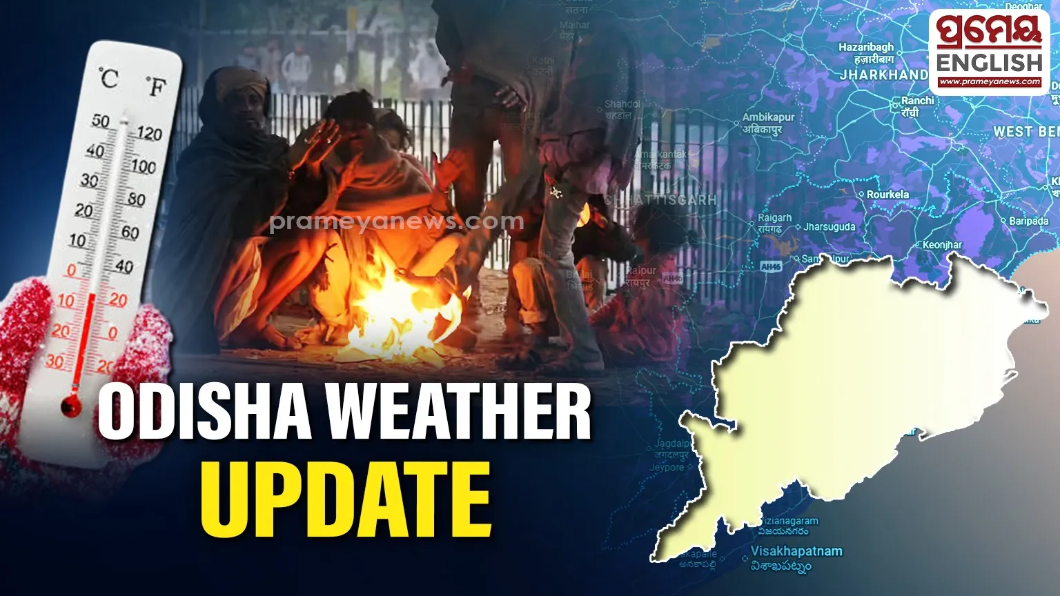
Twin cities shiver while Paralakhemundi records state's highest temperature
Winter continues to dominate the atmosphere across the state, prompting the Meteorological Centre in Bhubaneswar to issue a weather warning for the next two days. While the interior districts battle cold wave conditions, the coastal twin cities of Cuttack and Bhubaneswar have also witnessed a significant drop in night temperatures.
Twin City Temperature Watch
Residents in the twin cities woke up to a noticeable chill today. Cuttack turned out to be the colder of the two, recording a minimum (night) temperature of 10.4°C, while the capital city, Bhubaneswar, settled at 11.8°C. Daytime conditions remained pleasant, with Cuttack recording a maximum of 26.4°C and Bhubaneswar reaching 28.2°C.
Statewide Extremes: From Freezing to Warm
Contrast paints the weather picture across Odisha. While Paralakhemundi recorded the state's highest maximum temperature at a warm 30.4°C, other areas are shivering. Rourkela reported the lowest minimum temperature in the plains at just 6.6°C, and the hill station of G. Udayagiri remained the coldest spot overall at 5.2°C. Cold wave conditions specifically prevailed in isolated pockets of the Angul district.
Fog and Forecast Warnings
For the next 48 hours (Day-1 and Day-2), a Cold Wave warning remains active for marked districts. Simultaneously, shallow to moderate fog is forecast for early mornings in districts including Bhadrak, Kendrapada, Jajpur, Jagatsinghpur, Cuttack, and Balasore.
Outlook: Relief on the Horizon
Meteorologists predict that minimum temperatures will see no large change over the next two days. However, after this brief spell, a gradual rise of 2°C to 4°C is expected across the districts, signalling an end to the current intense cold snap. From Day-3 onwards, no severe weather warnings are in place.