

.webp)



New book maps two decades of Odisha shoreline retreat
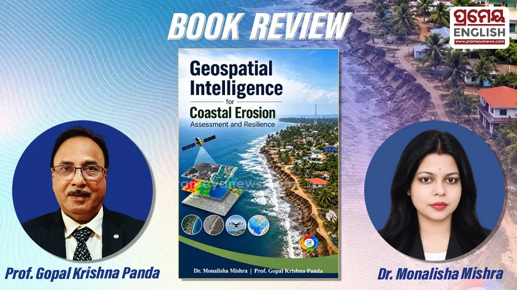
Rising sea levels, shifting weather patterns, and growing human activity have placed coastal habitats under severe strain worldwide. In their new volume, Geospatial Intelligence for Coastal Erosion Assessment and Resilience, authors Dr. Monalisha Mishra and Prof. Gopal Krishna Panda offer a clear, science-backed roadmap for tracking and managing disappearing shorelines. Grounded in a detailed study of the Odisha coast along the Bay of Bengal, the book turns complex satellite data into practical insights for long-term coastal protection.
Odisha's long eastern shoreline regularly absorbs intense tropical cyclones and strong tidal surges, making accurate erosion tracking vital for both local communities and state planners. Rather than relying on broad estimates, the authors show how modern mapping tools can measure shoreline shifts across both space and time.
Blending Satellite Data With Field Reality
Readers looking for applied research will appreciate how smoothly the book connects Remote Sensing, Geographic Information Systems (GIS), spatial modelling, and geospatial analytics. Dr. Mishra and Prof. Panda build their case study around multidate, open-source satellite records processed inside a GIS environment. By pairing Digital Shoreline Analysis with the Coastal Hazard Wheel model, they demonstrate how experts can detect subtle shoreline movement, chart high-risk zones, and guide fact-based policy decisions.
Inside the Eight-Chapter Structure
Carefully organized across eight chapters, the volume moves smoothly from foundational science to real-world solutions. Early sections introduce the study's scope alongside the physical geography and landforms of Odisha's coastline. From there, the authors outline their research databases and methods before presenting detailed hazard and vulnerability maps.
One of the book's strongest contributions is its twenty-year record of coastline retreat, paired with granular risk evaluations broken down to the district and subdistrict levels. Closing chapters shift toward sustainable management options, blending international best practices with local technological innovation. Throughout the text, colour maps and clear ground photographs help readers visualize erosion patterns without getting lost in heavy jargon.
Also read: BoB may witness fresh cyclonic development around November 30; IMD keeps watch
Practical Guide for Coastal Planners and Scholars
Accessible yet technically sound, this volume fills a clear gap between university research and field-level disaster planning. Scholars, students, environmental scientists, and climate adaptation specialists will find a reliable methodological reference here. Just as importantly, policymakers and coastal planners gain an actionable guide for building safer, more resilient shorelines in a warming world.
.webp)