



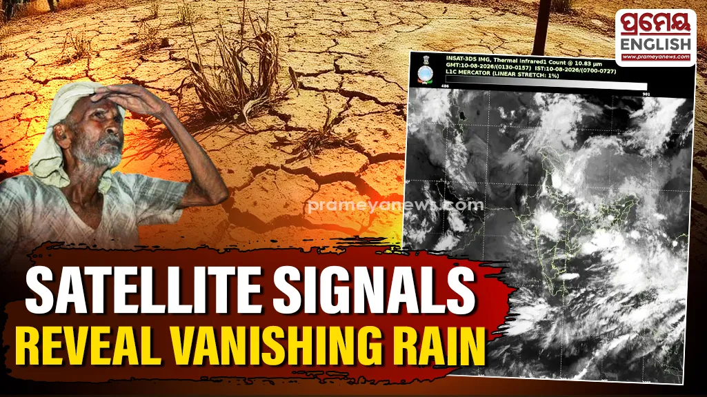
Receding rain clouds spark fresh fears about returning dry spells
Satellite imagery reveals a noticeable drop in monsoon cloud cover across large portions of India and the Bay of Bengal. This sudden shift brings fresh worry that El Nino might be steering our weather patterns into another subdued phase after weeks of good rainfall. Right now, a low-pressure system over central India remains the only major source generating steady showers. This system concentrates its energy over central regions, while other areas face a sharp decline in seasonal activity.
Bay of Bengal losing crucial moisture
Recent data reveals a worrying drop in cloud activity over the Bay of Bengal, which normally feeds moisture into the Indian landmass. Losing this organized cloud cover weakens the movement of rain-bearing systems toward the mainland. Historically, strong El Nino years have disrupted these exact moisture currents, causing distress for agricultural sectors that rely heavily on predictable seasonal showers.
Dry spells return to northern plains
Experts note that the monsoon axis is actively shifting southwards right now. This movement pushes the primary rainfall zone away from northern territories. Consequently, dry and hot conditions will likely return to Delhi-NCR, Haryana, Punjab, and Uttar Pradesh. While some isolated afternoon showers might still happen, widespread rain is no longer expected in these regions for the time being.
Monitoring future weather patterns
Scientists are closely watching the Pacific Ocean as El Nino conditions develop. This climate phenomenon frequently disrupts the Indian summer monsoon by altering atmospheric circulation. However, current satellite readings do not mean the entire monsoon season has collapsed. Central India continues to experience active rain. Yet, the quick loss of clouds over the Bay of Bengal suggests we are entering a much quieter phase. We must now wait to see if this dry spell is temporary or a lasting El Nino effect.
Satellite Imagery Source: IMD