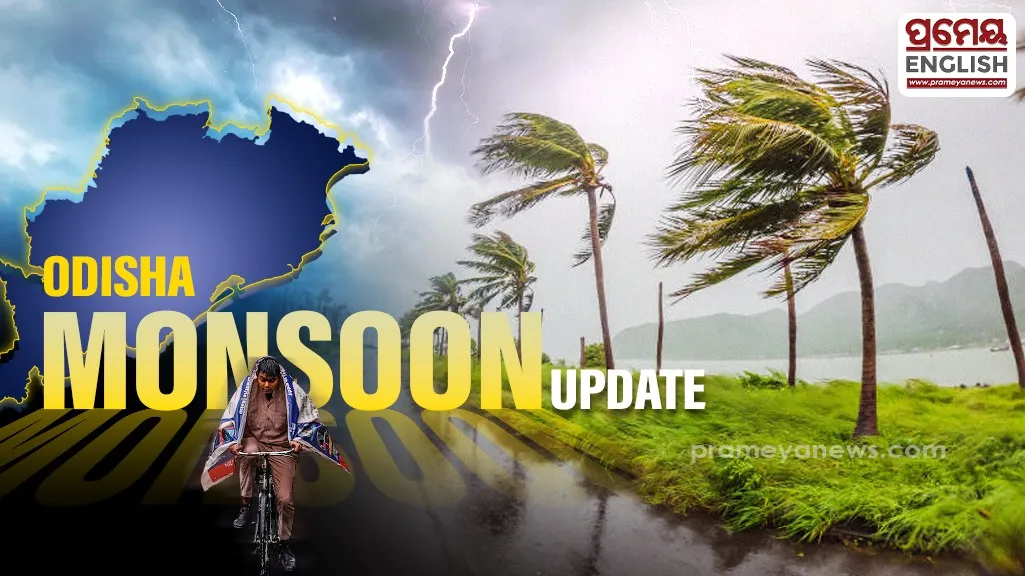
Odisha faces intense thunderstorms before heavy rainfall returns soon
Odisha braces for volatile weather conditions over the coming week as meteorological experts issue severe thunderstorm and heavy rain alerts. Weather officials confirmed that isolated locations will experience lightning, thunder, and gusty winds during the initial three days, followed by a brief lull before intense downpours arrive on days six and seven. Odisha's unique geographical position along the Bay of Bengal frequently subjects its coastal and inland districts to rapid atmospheric shifts during this transitional monsoon period.
Severe Weather Hazards Loom For Inland Districts
Recent data from the "weather map 25th June 2026.jpg" reveals a 52 percent rainfall deficit across the region, with maximum temperatures reaching 39 degrees Celsius in Jagatsinghpur and Nuapada. Conditions are changing rapidly now. According to the "Warning 27th June 2026.jpg", several vulnerable districts face an alert with gusty surface winds blowing up to 50 kilometers per hour alongside sharp lightning strikes.
Rain Intensity Predictions across State
Data from the "Rainfall forecast for Odisha 27th June.jpg" highlights scattered to isolated precipitation patterns moving across northern and southern zones. While days four and five offer a temporary break with no active warnings, heavy precipitation returns on days six and seven. Localized measurements confirm that stations like Daringbadi already recorded substantial early showers reaching 59 millimeters.
Twin City Outlook and Capital Disruptions
Urban centers will also see unstable conditions. The details in the "Twin city forecast.jpeg" indicate that Cuttack and Bhubaneswar will maintain generally cloudy skies over the next week. Both municipal areas expect regular intervals of rain or thunder, with daytime temperatures hovering near 37 degrees Celsius. Citizens should track real-time changes to stay safe.