

.webp)
Severe weather warnings trigger immediate safety deployments across Odisha.
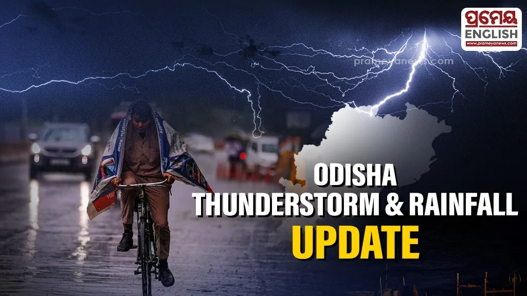
Heavy rain, intense lightning, and destructive hailstorms are threatening to disrupt normal life across ten crucial districts of Odisha this evening. Meteorological officials at the regional center in Bhubaneswar released an urgent nowcast alert identifying two massive geographical clusters directly in the path of the approaching storm cells.
Residents living in Angul, Nayagarh, Boudh, Ganjam, Cuttack, Dhenkanal, Kandhamal, Deogarh, Kendujhar, and Sambalpur need to prepare for sudden atmospheric turbulence valid until late evening.


Satellite imaging maps confirm that the volatile weather patterns encompass an estimated area of over 25,000 square kilometers. Weather tracking systems show dense cloud formations converging directly over the Satkosia Tiger Reserve forest range and expanding rapidly into surrounding agricultural belts. Local emergency teams warn that wind speeds could abruptly accelerate between 40 and 50 kmph, which risks damaging weak structures and standing crops.
Historically, this pre-monsoon phase in Odisha brings volatile Nor'wester storms, locally known as Kalabaisakhi, which are notorious for sudden, high-intensity lightning strikes that pose significant safety risks to rural communities and livestock.
State disaster management personnel are monitoring the real-time radar feeds closely to coordinate local responses. Commuters should postpone travel through open highways, and farmers must seek immediate concrete shelter rather than standing under trees or near water bodies during the lightning strikes.
Safety guidelines emphasize staying indoors and disconnecting electronic appliances until the severe storm cells pass completely.
.webp)