
.webp)


Bhubaneswar, Nov. 11: Odisha’s tryst with cyclones emerging from the Bay of Bengal is now accepted as routine, but it is not completely safe from the impact of earthquakes either.
Odisha is a region of moderate earthquakes but a tremor of such magnitude in a crowded city with weak buildings can cause great loss, Dr. G. Suresh, Director of National Centre for Seismology (NCS) under the Ministry of Earth Sciences, said on Wednesday.
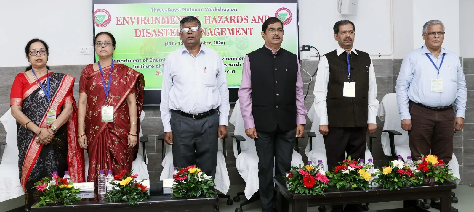
“Under the national code of the Bureau of Indian Standards, Odisha falls in Zone II and Zone III of the Seismic Zoning Map of India with the Mahanadi valley beginning from Jharsuguda and Sambalpur through Angul to Cuttack, Bhubaneswar, Paradip and Puri falling in Zone III which is a moderate risk zone,” Dr. Suresh said while speaking as the chief guest at the inauguration of a three-day national workshop on ‘Environmental Hazards and Disaster Management’ being organised at the SOA Deemed to be University here.
Most of the rest of Odisha is included in Zone II which is considered a low risk region, he said.
Pointing out that earthquakes do occur in Odisha, Dr. Suresh said an earthquake of about magnitude 6 on the Richter scale originating in the Bay of Bengal was felt along coastal Odisha in May 2014, while a tremor of magnitude 5.2 struck Sambalpur in 1963.
Earthquakes of magnitude 4.6 was felt at Bonaigarh and Debagada in 1995 while a tremor of magnitude 4.7 hit Sundargada in 2001, he recalled adding the NCS monitored earthquakes round the clock through 180 seismological observatories across the country including three located at Bhubaneswar, Jharsuguda and Rayagada.
“These observatories can locate any earthquake of magnitude 3 or above ,” he said adding the NCS was presently working on a early warning system for the Himalayan region which is highly vulnerable to strong earthquakes.
SOA Vice-Chancellor Prof. Pradipta Kumar Nanda presided over the event which was also addressed by Prof. Pradeep Kumar Sahu, Dean of the Institute of Technical Education and Research (ITER), SOA’s faculty of engineering.
The event has been jointly organised by SOA’s Centre for Environment and Climate (CEC) and Department of Chemistry of ITER. Prof. Sarat Chandra Sahu, Director of CEC and Prof. Sujata Mishra, Head of Department of Chemistry, ITER, also addressed the workshop.
Pointing out that the NCS had carried out seismic microzonation of Bhubaneswar city by dividing areas of the city into small zones, each with similar seismic hazard, Dr. Suresh said the study had provided site specific assessment of hazard using geological, geophysical, geotechnical, geomorphological and seismological data.
“We had studied 420 square kilometers of the Bhubaneswar Development Plan Area in July 2025 measuring the natural vibration of the ground at 1650 points. We had drilled boreholes 30 metres deep and made some tests down to 100 metres while examining more than 1200 soil samples in the laboratory,” Dr. Suresh said.
Stating that they had measured six parameters, he said the shear velocity of the top 30 metres showed that in most of the city the velocity was 360 to 760 metres per second which meant stiffer ground which was good for foundations.
However, in the eastern part of the city the velocity fell to 184 to 360 metres per second which meant softer ground, he said.
As per the depth of the engineering bedrock, it was found to be only 2 to 20 metres in the west and central part of the city while in the east it went down to 86 metres with the rock covered by alluvial soil.
The peak frequency of the ground showed it was less than 1 hertz to more than 10 hertz across the city while on firm ground in the centre it was above 10 hertz. However, it was below 4 hertz in the eastern belt which has thick soft soil.
“Tall buildings vibrate at a low frequency and when the ground and the buildings have the same frequency, the shaking multiplies,” Dr. Suresh said.
Referring to peak ground acceleration, he said in the rock below the city it was only about 0.05 g (g meaning acceleration due to gravity) while it became 0.08 to 0.17 g at the surface with the soil amplifying the shaking up to three times.
In the Jagamara area of the city, the peak frequency changed over short distances, mostly between 1 and 6 hertz, he said pointing out that the peak amplification in the area was about 2 to 5.
“It means a building of ten storeys vibrated at about 1 hertz, one of five storeys at about 2 hertz and one of two storyes at 5 hertz,” he said.
“Bhubaneswar being in Zone III, the national code for this zone takes a design shaking of 0.08 g while our microzonation map showed 0.14 to 0.17 g for this area which was nearly twice the code value,” Dr. Suresh said.
“For the rarest and strongest earthquake, the code takes 0.16 g while the map shows 0.20 to 0.27 g. The same is found at Chakeisiani, Pahala, Old Town and Uttara areas,” he added.
Also Read: Odisha receives national recognition at Swachh Survekshan Awards 2025–26
Dr. Suresh said the hazard index prepared after the exercise was found to be low over most of the city but it was moderate to high only in the eastern part along the Kuakhai and Daya rivers.
But it is not a reason for fear but a reason for good engineering. “You must know your ground before you build. Tall buildings, bridges and structures in the eastern part of the city need more attention than those in the centre and the west,” he added.
In the event Convenor Dr, Abanti Pradhan, Associate Prof. gave the introduction about the programme where as Associate Prof. Dr. Bibhu Prasad Panda gave vote of thanks.
.webp)