

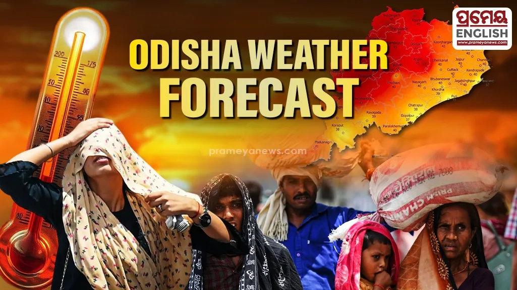
Scorching heat and sudden thunderstorms dominate Odisha’s latest forecast.
Jharsuguda emerged as the hottest spot in the state yesterday, recording a blistering 44.6°C as Odisha battles an intense summer spell. Data released by the Meteorological Centre Bhubaneswar indicates that while western regions are baking under heatwave conditions, southern districts like Koraput and Malkangiri have received localized relief through significant rainfall. Kotpad recorded the highest rainfall at 28.0 mm, highlighting the stark climatic contrast currently splitting the state between extreme heat and pre-monsoon showers.
Regional Temperature Variations
Coastal areas including Bhubaneswar and Cuttack are experiencing high humidity alongside temperatures hovering around 41.2°C and 39.8°C respectively. While the heat remains oppressive, Nawarangpur offered a rare cool reprieve with a minimum temperature of 19.6°C. Historically, April in Odisha is known for the 'Kalabaishakhi' or Nor'wester transitions, where intense daytime heating triggers violent evening thunderstorms, a pattern clearly visible in the current meteorological data.
Impact of Impending Nor'westers
Yellow warnings are now active across several districts for isolated thunderstorms accompanied by lightning and gusty surface winds reaching 30-40 kmph. Residents in Mayurbhanj, Keonjhar, Balasore, and Bhadrak should prepare for sudden weather shifts. These storms, while providing temporary cooling, often pose risks to standing crops and unsecured structures due to the high-velocity winds.
Critical Marine Safety Alert
Fishermen must avoid venturing into the North Odisha coast on April 26 and 27 due to deteriorating sea conditions. Squally weather with wind speeds potentially reaching 65 kmph is expected to make the Bay of Bengal extremely rough. For those on land, maximum temperatures will likely remain stable for the next three days before a predicted slight dip of 2-3°C brings marginal relief to the parched landscape.