


.webp)


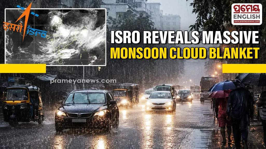
Satellite images reveal vast monsoon clouds covering Indian skies
Nighttime satellite images captured by ISRO reveal a thick, continuous blanket of monsoon clouds covering nearly 95 percent of India. Spacecraft hovering 36,000 kilometres above Earth snapped detailed infrared photographs showing widespread weather bands sweeping across the entire subcontinent. Thermal infrared sensors on INSAT-3DR and INSAT-3DS tracked heat signatures to map cloud coverage in complete darkness. Readings indicate a broad curve of storm activity pushing from the northern Bay of Bengal directly over Odisha, Chhattisgarh, and Madhya Pradesh, extending into Gujarat. Odisha's coastal and interior agricultural districts rely heavily on the initial impact of these Bay of Bengal systems, historically bringing vital moisture for the early Kharif crop planting season. Right now, only western Rajasthan and Kutch remain visibly clear of this dense weather sheet.
Rainfall Expectations and Deficit Data
Experts at the India Meteorological Department look closely at cloud top temperatures to predict rainfall intensity accurately. Satellites measured deep red thermal patches hovering directly over Bihar, the northeast, and the Himalayan foothills. Temperatures plunged well below minus 60 degrees Celsius in these specific high-altitude zones. Such extreme cold proves thunderstorm clouds have soared up to 16 kilometres high, reaching the atmospheric limit. These towering weather formations hold immense moisture and promise significant, heavy downpours.
Future Monsoon Trajectory
Forecasters confirm the primary low-pressure monsoon trough currently rests near its standard position across northern India. Powerful cyclonic circulations spin actively above multiple states, continuously pulling fresh moisture from the surrounding oceans. However, this brilliant display of atmospheric activity will not instantly erase the severe rainfall shortage. June 2026 recorded exceptionally low precipitation levels, leaving the nation with a stark 40 percent moisture deficit. Weather experts anticipate active thunderstorms over northern and eastern regions for the coming week, while southern states experience mostly subdued weather.
.webp)