

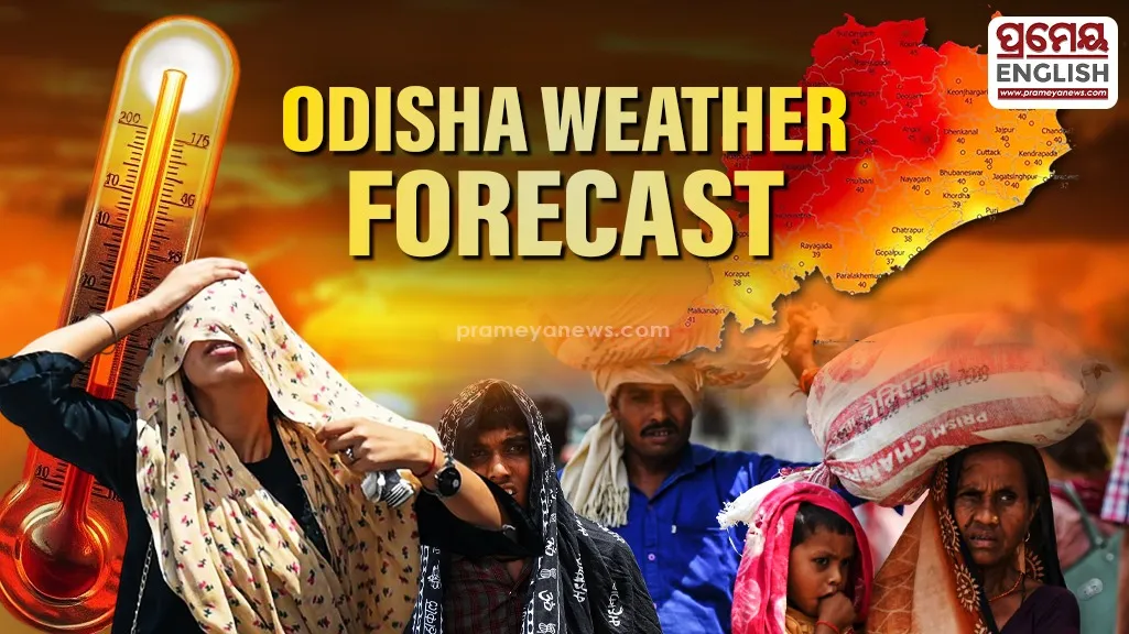
Summer heat collides with severe thunderstorm warnings across Odisha.
Sweltering conditions in Titilagarh peaked at a blistering 40.8°C yesterday, but sudden meteorological shifts are triggering widespread rainfall alerts across Odisha. Over the next seven days, light to moderate showers will sweep through the region, offering a slight reprieve from the rising mercury. Historically, pre-monsoon weather in this eastern coastal state brings a volatile combination of intense afternoon heat and rapid, violent evening squalls locally known as Nor'westers or Kalbaishakhi, which frequently disrupt normal life during late March.
Severe Weather Alerts Issued
Citizens must brace for a turbulent sequence of atmospheric events. Forecasters anticipate isolated thunderstorms, dangerous lightning strikes, and gusty surface winds reaching speeds up to 50 kmph on the first day. Similar hazardous conditions will return and persist from day three through day five. Southern and coastal districts—including Khordha, Puri, and Ganjam—remain under a yellow watch, demanding heightened vigilance from local communities, fishermen, and daily commuters.
Hailstorm Threat Looms
Tuesday brings an escalated risk, with specific regional warnings activated for isolated hailstorms. These icy downdrafts, combined with intense thunder and gale-force winds, pose a direct threat to outdoor properties and agricultural assets. Farmers are advised to take rapid precautions to shield vulnerable standing crops from potential destruction, while urban residents should secure loose temporary structures to prevent injury from flying debris.
Temperature Trends Remain Steady
Despite the anticipated precipitation, maximum daytime temperatures will experience no drastic fluctuations throughout this forecasted period. Urban centers like Bhubaneswar and Cuttack currently maintain steady heat levels, recording 35.9°C and 35.6°C respectively. Atmospheric volatility will finally diminish by the weekend, allowing officials to withdraw all severe weather warnings for day six and day seven as calmer skies return to the state and normal weather patterns resume.