
.webp)


Night temperatures will drop sharply following isolated heavy rainfall
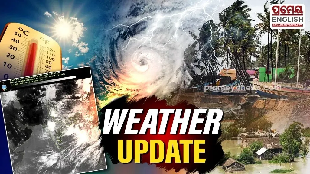
Night temperatures across districts will plunge by two to four degrees Celsius later this week, bringing a distinct winter chill to the region. Officials at the Bhubaneswar Meteorological Centre confirmed that minimum temperatures will remain stable for two days before dropping sharply over the subsequent five days. Providing the latest Odisha weather update, meteorologists indicated that this cooling trend will mark the definitive onset of winter conditions.
This transition follows a period of erratic weather patterns marked by scattered rainfall and sudden thunderstorms. During the past 24 hours, Mayurbhanj and Balasore recorded significant precipitation, with Raruana receiving 60.0 mm, Rajghat recording 48.4 mm, and Sukruli observing 47.5 mm. Chandbali registered the highest maximum daytime temperature at 34.0°C, while Paralakhemundi in the plains recorded the lowest minimum of 17.5°C. In the hill stations, Koraput saw mercury levels dip to 18.2°C. Capital city Bhubaneswar maintained a maximum of 32.6°C and a minimum of 23.6°C, while neighboring Kataka (Cuttack) recorded 30.8°C and 22.2°C respectively with zero rainfall.
Also read: Odisha partners with J-PAL South Asia to strengthen evidence-based policymaking
Yellow warnings for multiple districts
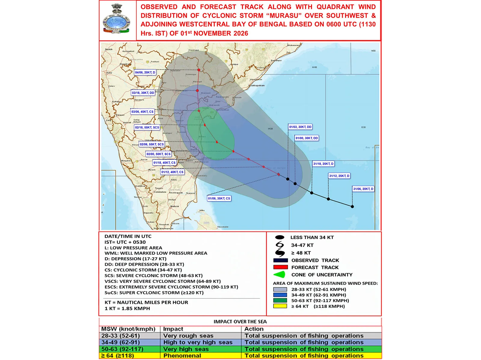
Forecasters have issued yellow warnings for several western, southern, and northern districts valid until November 5 morning. Regions including Sundargarh, Jharsuguda, Bargarh, Nuapada, Balangir, Kalahandi, Nabarangpur, Rayagada, and Gajapati are bracing for isolated thunderstorms accompanied by lightning. Furthermore, coastal parts of northern Odisha, specifically Balasore and Bhadrak, may experience gusty surface winds reaching speeds of 30 to 40 kilometers per hour. Malkangiri and Koraput remain on high alert for isolated heavy showers. Late-season thunderstorms frequently disrupt early winter transitions along the eastern coast of India, largely driven by residual moisture from retreating monsoon systems. Such localized weather events often cause sudden temperature fluctuations before dry northerly winter winds establish complete dominance over the state, bringing stabilized, cooler atmospheric conditions. Farmers and residents in the affected zones must remain vigilant against potential lightning strikes and sudden wind gusts during this volatile transitional phase. Once the current weather system passes, citizens can expect clearer skies and noticeably cooler nights heading into the middle of November.
.webp)