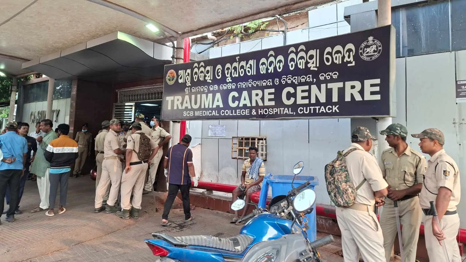
Bhubaneswar, Mar 16: A devastating fire inside the Trauma Care Intensive Care Unit (ICU) of SCB Medical College and Hospital in Cuttack in the early hours of Monday claimed 10 lives and sparked serious allegations of negligence, including delays in rescue operations and failure of fire safety systems.
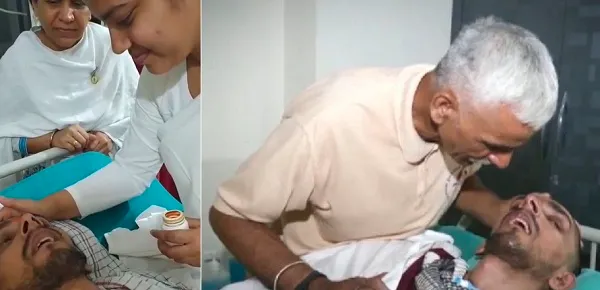
According to reports, around 23 patients were admitted to the ICU when the fire broke out. During the evacuation process, 10 patients reportedly died while being shifted to other wards. At least 13 other patients sustained injuries and are currently undergoing treatment in other units of the hospital.
Preliminary information suggests that the blaze may have been triggered by an electrical short circuit. However, relatives of patients alleged that the hospital’s sprinkler system failed to operate immediately after the fire broke out, which delayed the evacuation efforts. Fire Services personnel later brought the flames under control manually using water.
Attendants present at the ICU said thick smoke quickly filled the ward, drastically reducing visibility and making rescue operations difficult. Some attendants claimed they had to carry their patients out themselves, which helped save several lives.
Meanwhile, legislators and public representatives rushed to the hospital after the incident.
MLA Souvik Biswal, who visited SCB, said 13 injured patients are currently receiving treatment in other wards of the hospital. He stated that steps would be taken to prevent such negligence in the future and confirmed that the Chief Minister has ordered a judicial inquiry into the incident to ensure accountability.
Cuttack Mayor Subhas Singh also expressed concern, stating that it was unacceptable for ambulances to take more than an hour to reach during such a critical situation. He alleged that the fire safety system was not operational and said such incidents occur due to weaknesses in the system. “The people of Odisha will not forgive such lapses. The government must wake up,” he said.
Congress MLA Sophia Firdous, who also visited the hospital, alleged serious negligence in the incident. She claimed that the fire safety mechanisms, including the sprinkler system, failed to function and that hospital staff were unable to control the situation. Calling the deaths of 10 patients “extremely unfortunate,” she demanded strict action against those responsible.
Authorities have launched an investigation into the fire as questions continue to mount over safety measures and emergency preparedness at one of Odisha’s largest government hospitals.