



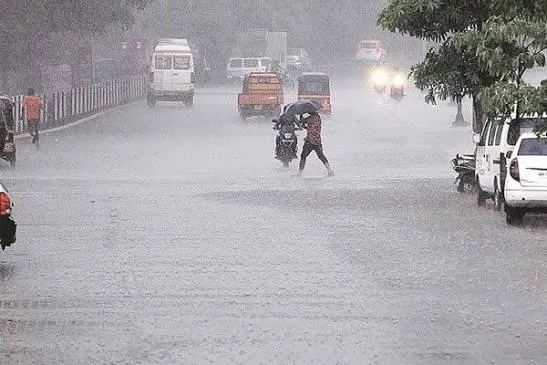
Deep depression brings extreme rainfall threats to coastal Odisha
India Meteorological Department officials have issued severe weather warnings for southern Odisha as a well-marked low-pressure system intensifies into a deep depression. This active weather system currently lies over the west-central and adjoining northwest Bay of Bengal, moving steadily west-northwestwards. It is positioned approximately 310 kilometers southeast of Puri and 310 kilometers east-southeast of Gopalpur. Meteorologists expect the depression to cross the coast between Visakhapatnam and Gopalpur during the night of September 23 or early morning on September 24.
Severe Weather Projections
Southern districts of Odisha are preparing for extreme conditions as wind speeds are predicted to reach 55 to 65 kmph, gusting up to 75 kmph. Koraput, Gajapati, and Ganjam districts remain under a red warning for extremely heavy rainfall on September 23. Forecasts indicate isolated extremely heavy showers will affect these areas significantly. Other regions, including Kalahandi, Nawarangpur, and Malkangiri, will face similar extreme rainfall threats on September 24 as the system moves inland. Early accumulated rainfall readings recorded 23.6 mm in Paradeep, 18 mm in Chandbali, and 13.6 mm in Cuttack. Orange warnings remain active for Khordha, Puri, Rayagada, and Nayagarh, indicating heavy to very heavy precipitation.
Coastal Communities Under Alert
Odisha frequently experiences severe weather disturbances during the post-monsoon season, requiring continuous vigilance from disaster management authorities. Sea conditions will remain rough to very rough over the northwest Bay of Bengal from September 22 to 24. Authorities have hoisted Local Cautionary Signal Number Three across all ports in Odisha to warn maritime operators. Fishermen are strictly advised to return to the coast and avoid venturing into the west-central and adjoining northwest Bay of Bengal until September 24.
Government Response Measures
State administration has issued clear guidelines to mitigate potential damage from squally winds and localized flooding. Strong gusts may cause minor damage to unsecured structures, uproot trees, and disrupt power and communication lines. Heavy rainfall threatens to inundate low-lying urban sectors and close underpasses. Residents in vulnerable areas should remain indoors, keep away from objects conducting electricity, and avoid traveling through waterlogged routes. Inland water transportation, tourism operations, and offshore activities are completely regulated to ensure public safety. Agricultural sectors might face losses as standing crops, horticulture, and banana plantations are vulnerable to strong winds. Localized landslides and mudslips pose additional risks in hilly terrains.

Latest Satellite Image as released by IMD @ 06:00 - 0627