

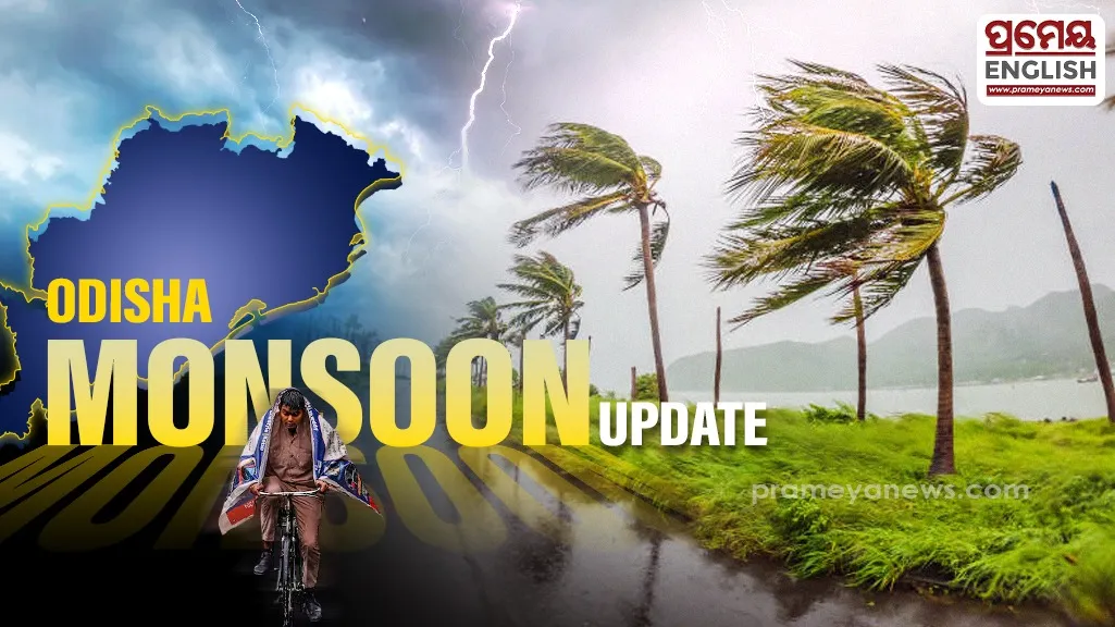
Extreme monsoon downpours trigger red alerts across southern Odisha
Four southern districts face severe risks from extreme precipitation over the next twenty-four hours. According to weather experts have placed Malkangiri, Koraput, Rayagada, and Kalahandi under a strict red alert for extremely heavy downpours exceeding 20 cm. This intense monsoon activity stems from a developing low-pressure area over the Northwest Bay of Bengal. Representatives from the Meteorological Centre Bhubaneswar noted that the associated cyclonic circulation extends up to 7.6 km above mean sea level and will likely intensify further within forty-eight hours.
Expanding Rainfall Footprint
Orange alerts cover key central zones like Khordha, Puri, and Ganjam, where isolated heavy to very heavy rain is expected to trigger brief waterlogging. Data from "rainfal forecast 4th July 2026.jpg" indicates widespread wet conditions affecting 76 to 100 percent of administrative monitoring stations statewide. For urban commuters, shows that both Bhubaneswar and Cuttack will experience generally cloudy skies and moderate showers, keeping daytime peak temperatures around 31°C and nighttime drops near 24°C. Coastal Odisha encounters frequent atmospheric depressions during July, necessitating fast administrative interventions to prevent localized urban flooding.
Dangerous Maritime Conditions
Turbulent seas present significant hazards for coastal communities and marine operators over the next five days. As documented in "Fisherman warning.jpg", squally winds between 40 and 50 kmph, gusting up to 60 kmph, will impact local marine zones until July 7. Consequently, safety regulators have issued a strict advisory prohibiting all fishing operations off the regional coastline. Local disaster response teams are currently tracking low-lying plains to manage rising water levels and flash flood threats effectively.