

Storm alerts issued for Odisha districts amid rising heat levels.
Meteorological officials at the Bhubaneswar centre issued a yellow warning for several districts today, predicting isolated thunderstorms and lightning across the state for the next seven days. While western parts of the state continue to bake under high temperatures, coastal and interior belts are preparing for gusty surface winds reaching speeds of up to 50 kmph.
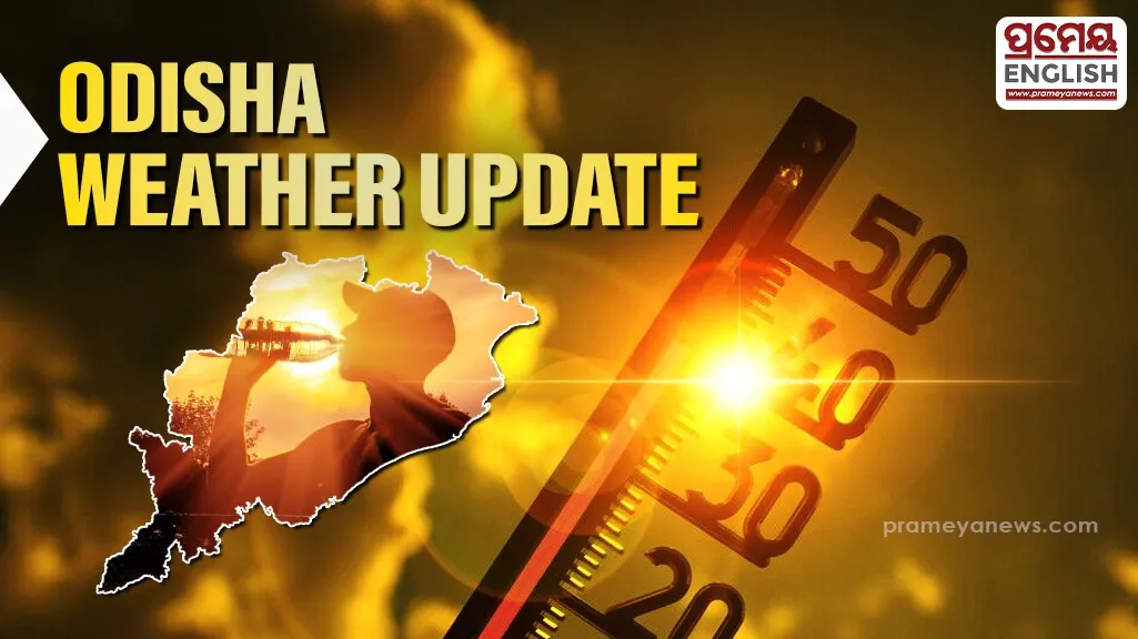
Malkangiri recorded the highest maximum temperature in the state at 40.2°C, highlighting a sharp contrast in regional weather patterns. In contrast, Rayagada saw the mercury dip to a minimum of 18.4°C. Significant rainfall has already been recorded in the past 24 hours, with Chakapad in Kandhamal receiving 76.6 mm and Tikabali seeing 72.0 mm. These pre-monsoon showers, locally known as 'Kalbaishakhi' or Nor'westers in Odisha, often provide temporary relief from the intense summer heat but bring risks of lightning strikes.
Residents in districts such as Mayurbhanj, Keonjhar, and Balasore should remain alert for sudden weather changes. The forecast valid until May 8 indicates that thunderstorms with lightning will persist in isolated pockets. Wind speeds are expected to fluctuate between 30 to 50 kmph during these spells.
Twin cities Cuttack and Bhubaneswar recorded maximum temperatures of 32.8°C and 33.0°C respectively. While the capital city remains relatively stable for now, the surrounding districts are likely to experience increased humidity and sporadic rainfall. The IMD advises people to take shelter in safe places during lightning activity and avoid standing under tall trees or near electric poles.