
.webp)
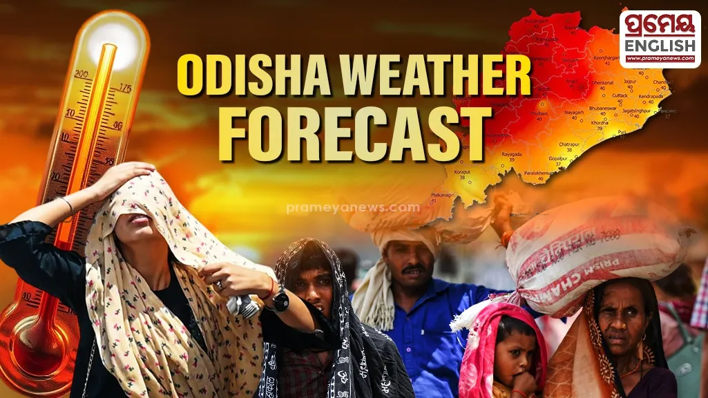
Severe weather conditions will grip Odisha over the coming week
Jharsuguda recorded a blistering maximum temperature of 45.2°C as the regional weather agency issued multi-layered safety warnings for severe heatwave and thunderstorm conditions over the next few days. Data from the Meteorological Centre Bhubaneswar indicates that north-western and interior pockets will face the brunt of this summer spike, while high moisture content triggers extreme distress closer to the coast.
Extreme Heat and Suffocating Humidity
Residents across western locations are experiencing severe daytime conditions. Thermometers peaked at 45°C in Sambalpur, Titilagarh, and Boudh, confirming an isolated heatwave. Meanwhile, coastal urban hubs face different atmospheric challenges. Bhubaneswar and Cuttack registered peak temperatures of 39.3°C and 37.8°C respectively, but an incredibly high humidity level pushing past 80% pushed local discomfort values past the comfort threshold. Phulbani recorded hot and humid conditions, while Bolangir suffered from an official warm night warning, where elevated evening temperatures offered no cooling relief after sunset.
Dual Danger of Thunderstorms and Lightning
Atmospheric instability continues to trigger localized, volatile weather systems across several regions. A real-time nowcast issued by duty officers highlights immediate tracking for sudden thunderstorms, light to moderate rainfall, and gusty surface winds blowing between 40 kmph and 50 kmph. This short-term warning covers several vulnerable districts, including Koraput, Rayagada, Gajapati, Ganjam, Kandhamal, Boudh, Sambalpur, Bargarh, Jharsuguda, and Sundergarh. Keonjhargarh already registered the highest localized rainfall at 15.9 mm, proving the unpredictable nature of these summer convective storms.
Historically, pre-monsoon heat cycles in this part of the Indian peninsula often collide with maritime moisture from the Bay of Bengal, resulting in highly dangerous lightning strikes that present a seasonal hazard for rural agricultural communities.
Outlook and Safety Precautions
Meteorologists forecast no immediate drop in day temperatures over the next 3 to 4 days across most locations. However, numerical models suggest a subsequent fall of 2°C to 3°C thereafter as convective activity expands. A comprehensive Day-4 safety alert for May 27, 2026, places western interior borders under orange alert status, prompting civic bodies to monitor hydration supplies and advisory networks. Authorities strongly urge the public to avoid outdoor exposure between midday and late afternoon, stay well-hydrated, and seek immediate, structurally sound shelter during sudden afternoon lightning developments.
.webp)