Billionaire Mittal family considers purchasing this popular IPL cricket team.
Reports indicate a massive shift in the Indian Premier League ownership landscape right now. Global business heavyweights are scrambling to acquire a prized cricket asset, specifically focusing on the highly anticipated Rajasthan Royals buyout. Leading the charge is Aditya Mittal and his promoter family from the steel behemoth Arcelor Mittal. They are actively considering throwing their hat into the ring for the coveted franchise.
Strong Competition Emerges
Several industry insiders suggest that at least four major groups have already submitted formal proposals before the mid-March deadline. Competition is incredibly fierce. For instance, the David Blitzer consortium recently joined forces with the Aditya Birla group to submit a joint bid. Other notable names circulating in the rumor mill include entrepreneur Kal Somani, supported by Walmart's Rob Walton, and the Times of India Group. Even Capri Global is viewed as a potential dark horse in this high-stakes race.
Building Meaningful Sports Portfolios
Entering the world of cricket seems like a natural progression for the Mittal family. Aditya Mittal, who currently serves as CEO of Arcelor Mittal, holds a deep passion for sports. Just last year, his family trusts partnered in a historic multi-billion dollar deal to purchase the Boston Celtics NBA team. Sources claim they are very bullish on sports investments and view a premium Indian franchise as the perfect addition to their growing global portfolio.
Future Leadership Decisions
Whether the Mittal group decides to partner with another entity or pursue the acquisition independently remains uncertain right now. The current ownership of the inaugural IPL champions primarily rests with Manoj Badale's Emerging Media Ventures, which holds roughly a 65% stake. Minority shares belong to investors like RedBird Capital Partners and Lachlan Murdoch.
Historic Franchise Legacy
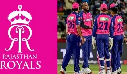
Fans closely following IPL 2026 news understand exactly why this team commands a valuation exceeding one billion dollars. Beyond winning the very first tournament, they boast a rich history of innovations, from hosting overseas exhibition matches to expanding their brand globally by acquiring the Barbados Royals in the Caribbean Premier League. As the bidding process managed by The Raine Group concludes, cricket enthusiasts and Odisha cricket fans eagerly await the announcement of the new owners who will guide superstars like Yashasvi Jaiswal and Ravindra Jadeja into the next exciting era.