
.webp)
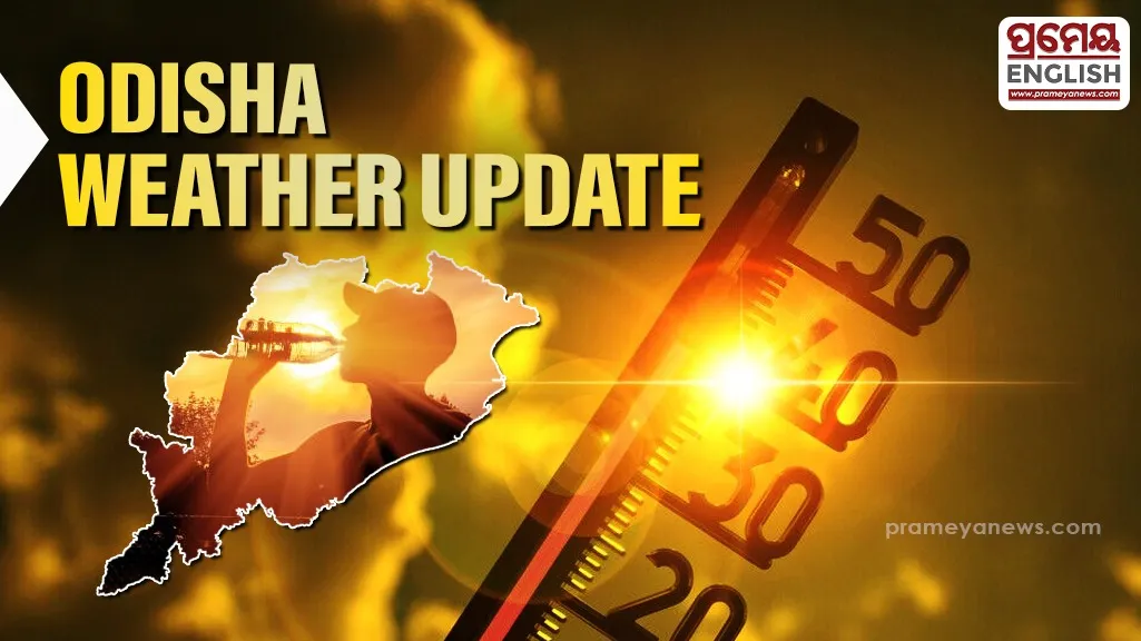
Volatile weather patterns trigger simultaneous heatwave and thunderstorm alerts across various Odisha districts
Meteorological Centre Bhubaneswar has issued a dual-action weather warning as western pocket districts boil under extreme heat while other regions brace for imminent lightning and turbulent winds. Realized data shows Jharsuguda recorded a blistering maximum temperature of 45.2°C, marking the highest peak in the plains, while Paralakhemundi experienced the lowest minimum at 23.0°C. Weather experts project that daytime temperatures will remain unchanged for the next five days, followed by a minor drop of 2°C to 3°C across the state.
Double Trouble With Heat and Humid Disruptions
Severe heatwave conditions are prevailing in isolated pockets of Jharsuguda, while Hirakud grapples with oppressive hot and humid conditions. Residents in Bolangir endured an uncomfortably warm night, a phenomenon that meteorologists predict will persist over the next 48 hours. Historically, late May represents the peak of pre-monsoon heating in Odisha, where western rocky terrains trap solar radiation while coastal humidity amplifies the discomfort.
Orange and Yellow Alerts Imposed For Thunderstorms
Concurrently, a major atmospheric shift brings turbulent winds and lightning hazards to several districts. Check the regional vulnerability breakdown below:
|
Alert Level |
Affected Districts |
Hazard Details |
|
Orange Alert (Prepare) |
Keonjhar, Mayurbhanj, Angul, Dhenkanal, Boudh, Kandhamal |
Thunderstorms with lightning and gusty surface winds reaching 50-60 Kmph. |
|
Yellow Watch (Be Aware) |
Sundergarh, Jharsuguda, Sambalpur, Deogarh, Balasore, Bhadrak, Jajpur, Cuttack, Khordha, Puri, Ganjam, Gajapati, Rayagada, Koraput, Malkangiri |
Thunderstorms with lightning and gusty surface winds reaching 30-50 Kmph. |
|
Green Status (No Action) |
Bargarh, Sonepur, Bolangir, Nuapada, Nabarangpur |
No severe convective weather warnings active. |
Rainfall Outlook and Twin City Conditions
Scattered moisture blocks will bring isolated light to moderate rainfall across less than 25% of the stations through the next seven days, offering localized relief. In the twin cities, Bhubaneswar recorded a high of 37.7°C with dry conditions, whereas neighboring Cuttack stayed slightly cooler at 36.6°C and experienced 1.6 mm of light precipitation. Complete dry spells will likely take over the entire landscape by the sixth and seventh days of the forecast cycle, ending the short-lived convective rain.
.webp)