

.webp)


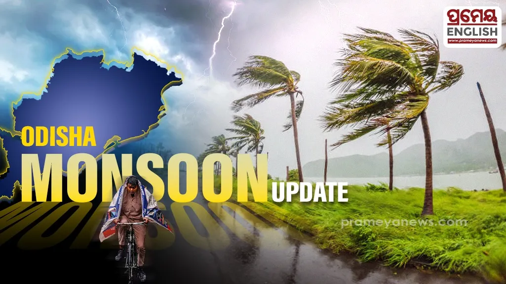
Monsoon rains trigger yellow alerts across several northern districts
Meteorologists at the Bhubaneswar regional center issued yellow warnings for multiple districts as an active low-pressure system over neighboring Madhya Pradesh maintains wet conditions across the state. Regional weather experts predict scattered downpours and lightning strikes over the coming days. Northern districts including Keonjhar and Mayurbhanj face immediate caution for turbulent conditions accompanied by gusty surface winds reaching up to forty kilometers per hour. Later in the week, central areas like Angul and Dhenkanal will also experience these stormy conditions.
Weather maps confirm that light to moderate showers will continue across all thirty districts. Local authorities advise citizens to take shelter during lightning events to avoid accidents. This proactive safety push aligns with ongoing state-wide initiatives to minimize casualties from seasonal atmospheric disturbances, which historically present high risks during the peak Kharif farming season when rural laborers work in open paddy fields. Coastal communities feel temporary relief as previous high-sea warnings for fishermen have been dialed down for the upcoming week since the rough sea condition along the coast is expected to subside gradually.
Surplus Rain Record Identified
Statistics from the current southwest monsoon show surprisingly healthy patterns for local farmers. State-wide cumulative precipitation between June first and July seventh reached 334.6 millimeters, representing a twenty-one percent surplus compared to the typical average of 276.6 millimeters. While western stations like Jharsuguda and Sambalpur registered over fifty-eight millimeters of heavy downpours in a single twenty-four-hour period, southern zones like Nabarangpur and Kalahandi still face a temporary dry spell. Capital city Bhubaneswar will likely remain under cloudy skies with mild showers, keeping daytime temperatures around thirty-four degrees Celsius while humidity levels remain high across coastal urban belts, ensuring a sticky yet completely manageable daily environment for local residents. Emergency response teams remain fully prepared for sudden localized flooding.
.webp)