

.webp)


Refreshing monsoon rains will return to India next week
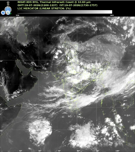
Meteorological officials predict significant rainfall returning to East, Central, and North India early next week. This welcome shift will finally break a difficult dry period that left millions sweltering in extreme humidity.
Bay of Bengal System Drives Changes
Fresh low-pressure formations over the Bay of Bengal are pulling moisture back toward the mainland. Coastal states like Odisha often serve as the primary gateway for these weather systems, directly influencing how quickly heavy rain reaches the central plains. As this new atmospheric system moves inland, it acts like a powerful vacuum. It draws humid coastal winds and forms thick rain clouds. This movement pulls the crucial monsoon trough southward from its current position near the Himalayan foothills. When the trough returns to its normal position, widespread showers naturally follow across the plains.
Ending Discomfort and Heat
Rainfall across India currently faces a twenty-four percent shortfall for the season. For several weeks, heavy moisture lingered in the air without forming rain clouds. This caused heat index levels to spike dangerously above forty degrees Celsius in many cities. Central areas suffered particularly hard during this break phase. Dry soil absorbs less solar energy, meaning more heat reflects directly back into the atmosphere and makes conditions feel much hotter.
Relief for Agriculture
Upcoming showers will bring critical moisture to parched agricultural fields across the country. Farmers can finally begin planting essential crops like rice, soybean, pulses, and cotton. While one week of good rain cannot fix the entire seasonal moisture deficit, it offers a necessary fresh start. Sustained downpours throughout August will ultimately determine the final success of this year's agricultural season.
.webp)