



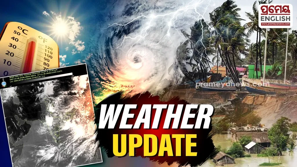
Fresh Low Pressure System Forming
Monsoon activity in Odisha is taking a stronger turn as a fresh cyclonic circulation develops over the northwest Bay of Bengal. Weather officials expect a low-pressure area to take shape around August 12, bringing heavier downpours across multiple districts over the next few days. Recent observations show heavy rain hitting several northern and coastal locations. Kujanga in Jagatsinghpur district registered 11 cm of rainfall, while Bhandaripokhari in Bhadrak recorded 9 cm. Mandira Dam in Sundargarh and Barkote in Deogarh both received 7 cm of rainfall.
District Level Warnings and Safety Guidelines
Orange warnings are active for coastal pockets including Bhadrak, Kendrapara, and Jagatsinghpur, where heavy to very heavy rainfall is extremely likely. These areas face risks of localized waterlogging, temporary road closures, and reduced visibility. Meanwhile, yellow warnings cover interior regions like Cuttack, Angul, Sambalpur, Jharsuguda, and Keonjhar. Strong surface winds reaching 30 to 40 kmph could accompany these thunderstorms, making outdoor travel tricky for local residents. Historically, mid-August monsoon depressions in the Bay of Bengal regularly bring brief urban flooding and river basin swells to eastern Odisha. Municipal authorities and disaster management teams are monitoring low-lying urban sectors and farmland to prevent damage to standing crops and vulnerable homes.
Sea Safety Directives for Coastal Communities
Fishermen face strict safety advisories along the entire Odisha coastline from August 11 to August 15. Wind speeds over the ocean are expected to range between 40 and 50 kmph, with squally gusts climbing up to 60 kmph. Rough sea conditions make deep-sea navigation hazardous throughout this multi-day period.