

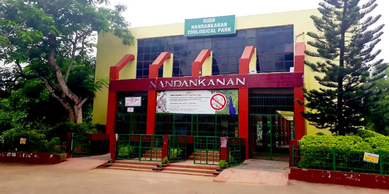
Bhubaneswar, Mar 18: Nandankanan Zoological Park has initiated another round of animal exchange to strengthen its conservation efforts. With approval from the Central Zoo Authority, a team from Nandankanan will travel to Sakkarbaug Zoo in Junagarh, Gujarat, on March 19 to bring new animals to the park.
As part of the exchange, Nandankanan will receive 18 animals from Sakkarbaug Zoo across three species, including two pairs of leopard cats, two pairs of Demoiselle cranes, and five pairs of jungle fowls. In return, Nandankanan will send one male bird, three spotted deer, and three Chousingha (four-horned antelopes) to Sakkarbaug. The exchange aims to introduce new genetic lines, ensuring healthier populations for the resident species.
In a separate milestone, Nandankanan celebrated the birth of a spotted deer fawn on March 11, marking a significant success after 14 years. The fawn hatched from a long-term breeding egg, bringing the total number of spotted deer at the park to 11. Since 2012, the Nandankanan breeding center has focused on conserving spotted deer, though previous attempts at hatching were largely unsuccessful.
The newborn fawn is under continuous 24-hour CCTV monitoring and is receiving necessary care from the zoo’s veterinary team. Spotted deer, which have been declining in Odisha since the 1999 super cyclone, are being carefully bred and reintroduced to maintain ecological balance across the state.