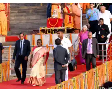
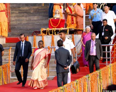
ଓଡ଼ିଆ | ENGLISH
ଓଡ଼ିଆ | ENGLISH

body-of-businessman-found-hanging-from-tree-in-balangir-murder-suspected

Published By : Satya Mohapatra
body-of-businessman-found-hanging-from-tree-in-balangir-murder-suspected

Night temperatures will rise before sudden thunderstorms hit Odisha

Residents across the state must prepare for shifting climate conditions over the coming days, according to the latest Odisha weather forecast. Dry spells have dominated recently, but meteorological experts anticipate a noticeable change very soon. Current data shows significant temperature variations depending on your exact geographical location.

Jharsuguda recorded a blistering 35.5°C today, officially making it the hottest spot in the plains. Meanwhile, Phulbani enjoyed a much cooler 13.5°C, and the hill station of G. Udayagiri saw the mercury drop all the way down to 9.6°C. Forecasts indicate a gradual rise in night temperature by roughly 2 to 3 degrees Celsius over the next couple of days. After this initial warming period, nighttime conditions will likely stabilize across most districts without any further drastic shifts.

Thunderstorm Alerts Activated

Calm skies will persist for the immediate future, with no severe alerts active for the next 48 hours. However, atmospheric conditions will become highly unstable starting February 23rd. Authorities have activated yellow warnings for isolated thunderstorms paired with dangerous lightning strikes. Gusty surface winds blowing at 30 to 40 kilometers per hour will also sweep through specific regions.

Affected areas during this third day of the forecast include Mayurbhanj, Keonjhar, Balasore, Bhadrak, Kalahandi, Nabarangpur, Koraput, and Malkangiri. Moving into February 24th, the storm focus shifts its trajectory slightly. The meteorological department will maintain severe weather alerts for Mayurbhanj while bringing Jajpur and Cuttack into the yellow warning zone.

Twin City Expected Conditions

Folks living in the busy hubs of Bhubaneswar and Cuttack need to keep their umbrellas handy. Both cities can expect partly cloudy skies that will likely develop into scattered rain or thunderstorms by the third and fourth days of the current forecast window.

Maximum temperatures in Bhubaneswar will remain hot, hovering around 35°C to 36°C throughout the week. Cuttack weather forecast models show it staying slightly cooler, ranging between 33°C and 35°C. Unpredictable dust storms might also accompany the sudden rainfall in these urban areas. Locals should secure loose outdoor items, plan their commutes carefully, and stay alert during the turbulent afternoon hours to avoid getting caught in the rough weather.