


New cyclonic circulation to brew low pressure in Bay of Bengal
Published By : Lelin Mallick | November 27, 2020 10:15 PM


Amaravati, Nov 27: Even before the influence of cyclone Nivar came to a halt, another cyclonic circulation is brewing in the Indian Ocean and the adjoining Andaman Sea, which is likely to intensify into a depression and aggravate further to create low pressure in the Bay of Bengal. "A cyclonic circulation lies over east Equatorial Indian Ocean and adjoining south Andaman Sea and extends up to 5.8 km above mean sea level," said a Met department official. Due to its influence, a low pressure area is very likely to form over southeast Bay of Bengal in the next 48 hours. "It is likely to concentrate into a depression during the subsequent 24 hours and is likely to intensify further thereafter," the official said. By Wednesday, the depression is likely to move westwards and reach Tamil Nadu and Puducherry coasts, not far from Andhra Pradesh. Meanwhile, the Met department forecast thunderstorms with lightning and isolated heavy rainfall in Guntur and Prakasam districts of Andhra Pradesh on Saturday. Similarly, thunderstorms accompanied by lightning are likely to occur in parts of north coastal Andhra Pradesh, Yanam and Rayalaseema. However, there is no rainfall forecast for Sunday and Monday, even as it is set to resume on Tuesday. On Tuesday, thunderstorms with lightning are likely to occur in Nellore and Chittoor districts, including heavy rainfall in some parts. Likewise, thunderstorms with lightning are also likely in parts of north coastal Andhra Pradesh and Yanam. (IANS)

Prameya English Is Now On WhatsApp Join And Get Latest News Updates Delivered To You Via WhatsApp


Latest News

Odisha State BJP President Election: Notificat...
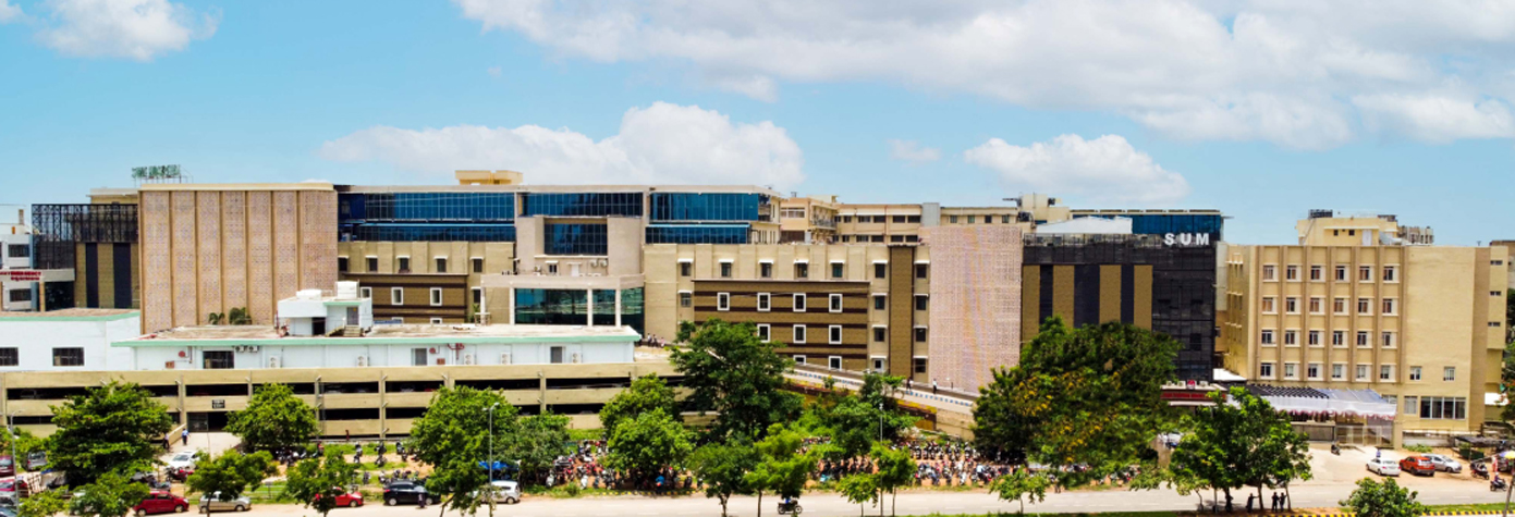
SUM Hospital launches free Cy-Tb test

SOA signs MoU with IGNOU for jointly offering...
Puri Jagannath Temple Admin devises for Digita...

Pilgrim City Puri announced Municipal Corporat...

Biopic on Yogi Adityanath titled "Ajey: The Un...
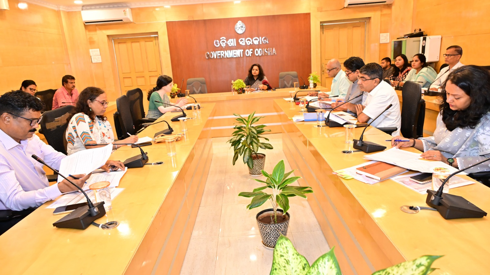
State Task Force reviews progress on NEP 2020...


Copyright © 2024 - Summa Real Media Private Limited. All Rights Reserved.