

.webp)


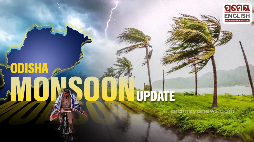
Odisha prepares for five days of thunderstorms and gusty winds
Bhubaneswar Meteorological Centre issued a yellow alert for multiple northern districts anticipating intense lightning and high-speed winds over the next five days. People residing across regions like Sundargarh, Keonjhar, Angul, and Mayurbhanj should expect isolated thunderstorms with surface wind speeds reaching up to 40 kilometers per hour. Meanwhile, all thirty districts are highly likely to experience light to moderate rainfall during this weekly cycle.
Northern Districts Face Storm Hazards
Meteorologists recorded scattered, low-intensity rainfall across different interior pockets over the past twenty-four hours. Official logs show that stations like Udala, Kaptipada, Dabugan, and Ranpur registered minimal precipitation, while Talcher recorded the highest maximum temperature at 35 degrees Celsius. This specific rise in regional temperatures often accelerates convective cloud formation, precipitating sudden localized thunder activity during the southwest monsoon phase. This season brings critical moisture essential for paddy cultivation in rural agrarian sectors, making precise weather tracking vital for local farmers.
Changing Patterns Across Alert Zones
Subsequent warning maps clarify that the hazardous zones will slowly expand and contract. Districts like Balasore, Bhadrak, and Boudh enter the yellow alert bracket as the system shifts coordinates between day two and day five. Daily routines might face brief disruptions, though the total rainfall volume remains manageable for civic infrastructure. Extended atmospheric projections indicate that these turbulent weather conditions will gradually decrease after the fifth day of the cycle. Safety warnings drop entirely by the sixth and seventh days, signaling a welcome return to stable skies across the state. Local administration teams advise community members to remain indoors during active lightning flashes to avoid injuries.
.webp)