

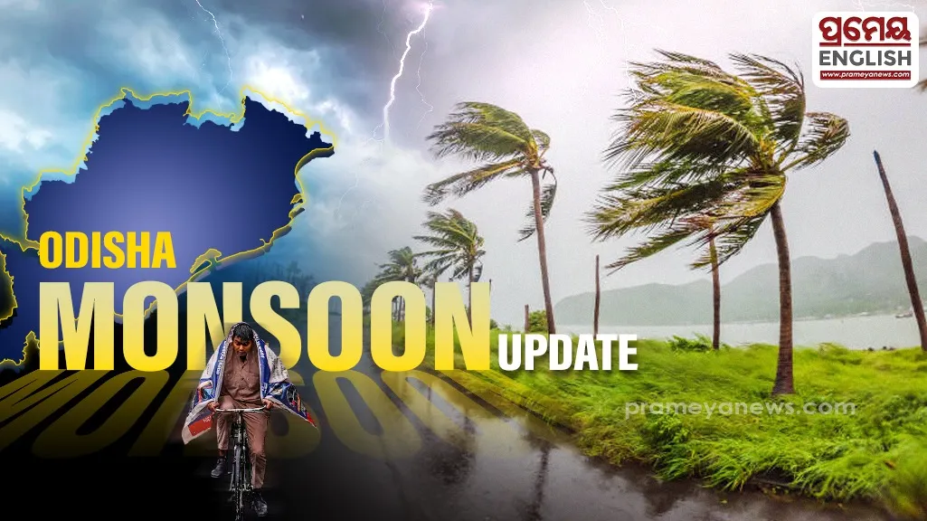
Severe downpours prompt red alerts across several western districts
Heavy downpours will submerge multiple districts as a severe weather system develops rapidly over the region. A well-marked low-pressure system positioned over the northwest Bay of Bengal and adjoining north Odisha coast drives this active monsoon phase. Local administrations have placed six critical districts under a red warning, urging residents to prepare for extreme precipitation exceeding 20 cm before Sunday morning.
Regional Breakdown of Intense Rain Alerts
Jharsuguda, Sambalpur, Sonepur, Boudh, Angul, and Kalahandi face the highest risk of severe flash flooding. Meanwhile, rainfall as on 4th July reveals that Sohela in Bargarh district has already registered an astonishing 202 mm of precipitation within a single twenty-four-hour cycle. Seven separate monitoring stations across the state documented very heavy rain events. Historically, early July brings volatile cyclonic circulations from the Bay of Bengal to coastal Odisha, regularly testing regional urban drainage networks. Furthermore, document that the state experienced an actual average rainfall departure of 182 percent above normal thresholds, with Bhubaneswar registering 41 mm and Cuttack recording 56.2 mm.
Coastal Safety Protocols and Marine Restrictions
Dangerous sea conditions have prompted strict maritime restrictions to protect local coastal communities. Fisherman are warned against marine activities along the coastline due to turbulent squally weather with wind gusts hitting 65 kmph. On 5th of July as projected widespread precipitation will cover the entire state, predicting one hundred percent coverage across all districts. Local authorities advise residents to stay indoors, secure loose outdoor properties, and completely avoid low-lying zones prone to rapid water accumulation.