


Chief Secretary directs to make use of the data treasure captured by ORSAC
Published By : Lelin Mallick | March 9, 2021 10:03 PM


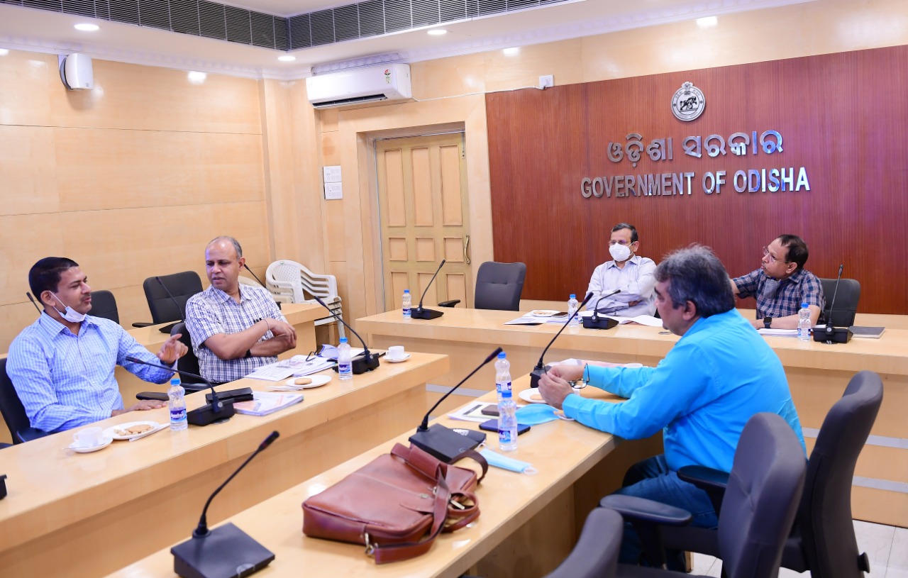
Bhubaneswar, Mar 9: In another significant step towards realization of 5T principles in good governance, Odisha has now merged as a lead state in digitized data base captured through satellite and ground-truthing technologies developed by Odisha Space Application Centre (ORSAC). This was known from a high level review meeting held under the Chairmanship of Chief Secretary Suresh Chandra Mahapatra in Lokseva Bhawan conference hall recently wherein Chief Executive of ORSAC Prafulla Kumar Mallick presented the data treasure created by the agency and its possible utilities. He appraised that ORSAC developed and applied about 36 major GIS mapped digitized database during the year 2019-20 for various departments and agencies. Reviewing various projects of ORSAC, Chief Secretary Mahapatra directed various departments to make use of the resource in decision making, planning and service delivery. Development Commissioner Pradeep Kumar Jena advised to organize one workshop involving all the departments and GIS scientists for more fruitful use of the GIS data. He asked the departments to work out their requirements more accuracy in planning and service delivery so that ORSAC could capture those data for them. Further Chief Secretary Mahapatra directed ORSAC to develop Odisha Public Asset Monitoring System (OPAMS) through high resolution satellite data. He said,” The portal will work as a State repository for decision making, resource allocation and developmental intervention”. It was decided that all new assets being created under different departments would be captured through the portal from planning and grounding to completion, commissioning and maintenance. Operation and service delivery of the projects would be monitored on real time basis through the portal. The portal would have updated information with maps, apps, analytics and dashboards. Chief Secretary directed the departments of rural development, water resources, works, panchayati raj and drinking water, forest and environment, industries, steel and mines, women and child development to link their existing asset portals with the OPAMS. The portal would have updated geo-tagged information about all roads, canals, water bodies, power networks, schools, health facilities, police stations, banks, fire stations, tourist locations, storage/ godowns warehouses, etc Chief Secretary directed to complete the work within six months. Each department was asked to identify a nodal officer for the purpose who would be the organic link between ORSAC and the department. It was also decided to start one ‘continuous operating reference system’ (CORS)to have updated data base of the land, forest, mining, coastal zone, urban areas, siarat sources and interstate boundary lines. The land use and land encroachments in different urban areas would be captured through satellite data based ‘land use intelligent system’.

Prameya English Is Now On WhatsApp Join And Get Latest News Updates Delivered To You Via WhatsApp


Latest News

Animesh Kujur finishes fourth in Meeting Hercu...

"Rahul Gandhi should have apologised to Odias"...

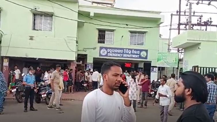
Tragedy in Nilgiri: Three workers die after li...
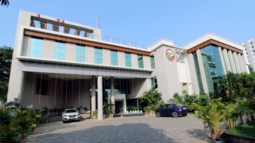
AIIMS Bhubaneswar to host its 5th Convocation...
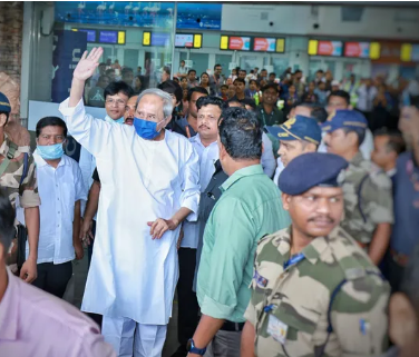
Naveen Patnaik returns to Bhubaneswar after su...
Student attempts suicide at Fakir Mohan Colleg...

Tragic alcohol poisoning in Dhenkanal: Two dea...


Copyright © 2024 - Summa Real Media Private Limited. All Rights Reserved.