Another low pressure area developing over the Bay

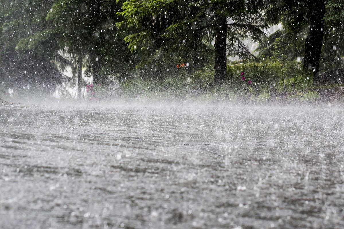
Bhubaneswar, Nov. 13: Even as rains continued in parts of Odisha due to presence of a trough line stretching along the entire eastern coast, a low pressure area was taking shape over the Bay of Bengal which could lead to more precipitation next week, according to SOA’s Centre for Environment and Climate (CEC) here. The trough line was continuing from Tamil Nadu coast up to West Bengal and it was gradually shifting to interior Odisha which would cause a decrease in rainfall from Sunday with isolated rains expected in the southern districts of the state, a CEC bulletin said. However, a low pressure took shape over Thailand and adjoining south Bay of Bengal today and it could develop into a depression over east central Bay of Bengal on November 15. It was likely to move in a west-north-west as also north-west direction and further intensify into a deep depression before crossing central Andhra Pradesh coast in the afternoon or night of November 18. Under the influence of this system, rainfall may increase in Odisha from November 17 and continue up to November 20 with one or two places in south Odisha experiencing heavy rainfall. Meanwhile, night temperature had risen and would continue to do so till November 22, the bulletin said.
Latest News

Mission Value & Employability: OSOU launches "...

Dalai Lama to celebrate his 90th Birthday tomo...

Puri Bahuda Yatra: 3 holy chariots reach befor...

Lalu Prasad Yadav re-elected as RJD President...

From Organizer to Champion: Neeraj Chopra Triu...

Dharmendra launches major projects at Central...

Naveen seeks MEA Jaishankar’s aid to rescue Od...
Copyright © 2024 - Summa Real Media Private Limited. All Rights Reserved.


