


Very severe cyclonic storm may hit Tamil Nadu-Puducherry on Nov 25 night: CEC
Published By : Prameya News Bureau | November 24, 2020 IST


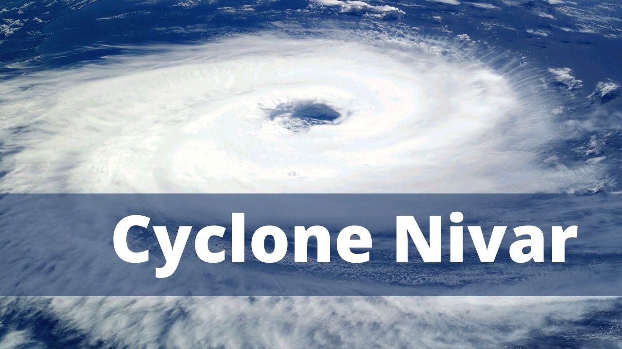
Bhubaneswar, Nov. 24: The deep depression formed over the south-west Bay of Bengal has intensified into a cyclonic storm and is centered about 430 km south-east of Chennai at 1130 hours on Tuesday, according to the Centre for Environment and Climate (CEC), SOA Deemed to be University here. The system, christened ‘Nivar’, is likely to move in a north-westerly direction and intensify further into a severe cyclonic storm and into a very severe cyclonic storm during the subsequent 24 hours, Dr. S.C.Sahu, Director of CEC, said. It was likely to cross the Tamilnadu-Puducherry coast south of Chennai as a very severe cyclonic storm on Wednesday night, he said. After crossing the coast, the system might gradually weaken and move in a north-northwesterly direction over Tamilnadu-Rayalseema (Andhra Pradesh) on Thursday. Under its influence, light to moderate rain might occur over many places in the southern and coastal districts of Odisha while heavy rainfall could be experienced in the districts of Koraput, Malkangiri, Gajapati, Ganjam, Rayagada, Nabarangpur, Kalahandi and Kandhamal between November 25 and 27. Heavy rainfall could occur in some places on November 26, Dr. Sahu said. The weather would continue to be chilly due to the cloud cover and rain during this period as also the northerly and north-westerly wind flow from north India, he said.

News7 Is Now On WhatsApp Join And Get Latest News Updates Delivered To You Via WhatsApp


Latest News

Aamir Khan's revelation: Award shows and the v...

India to become one of biggest semiconductor h...

Ailing tusker dies under treatment in Odisha’s...

Odisha CM & BJD supremo Naveen Patnaik begins...

The silent storm: How stress wreaks havoc on y...

PM Modi advocates for resilient infrastructure...

Odisha continues to grapple with intense heatw...


Copyright © 2024 - Summa Real Media Private Limited. All Rights Reserved.